What is recorded here
Standing stones in Glengomna, County Derry, belong to the prehistoric period but no exact location or clear function has survived. The official record points only to a remembered site rather than a visible marker, leaving the stones imagined beneath grass, water or forgotten land. They may have guided marriage, burial, boundary or prayer, yet human hands have already removed or hidden them from certainty. What remains is a gap shaped like a circle, waiting for someone to walk the glen and remember what the stones still hold.
The official Northern Ireland record identifies this as STANDING STONES (O.S. memoir site, unlocated). Recorded period: PREHISTORIC; UNCERTAIN. The official map point was placed at the centre of the recorded archaeological site from the source map reference.
The monument record does not grant public access. Check the route and ask the landowner before entering private land.
- What survives
- Recorded monument
Places near here
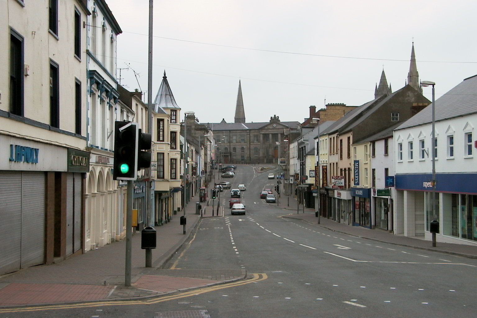 MullaghsallaghMountain / peak · 1.3 mi
 Goles ForestNature reserve · 1.8 mi
 ENCLOSURE & BULLAUN in GlengomnaENCLOSURE & BULLAUN · 1.9 mi
 OughtmoreMountain / peak · 2.3 mi
 Goles Stone RowArchaeological place · 2.5 mi
 St Columba's ChurchChurch · 3.6 mi
 Moydamlaght ForestForest · 3.8 mi
 Craig-na-ShokeCliff · 4.6 mi
 Presbyterian ChurchChurch · 4.6 mi
 Lough FeaWalking route · 5.3 mi
 Banagher Glen - Forest TrailWalking route · 6.1 mi
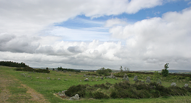 BeaghmoreArchaeological place · 6.3 mi