What is recorded here
Situated on level ground with the SW-NE Glenfarne river just to the NW. Two standing stones placed 3m apart form an E-W alignment (L 4.95m) (E stone: dims 0.85m x 0.25m; H 1.2m; W stone: dims 0.75m x 0.3m; H 2m). A third, displaced, slab (dims 0.8m x 0.3m; L 2.25m) lies between the two upright stones.
The above description is derived from 'The Archaeological Inventory of County Leitrim' compiled by Michael J. Moore (Dublin: Stationery Office, 2003). In certain instances the entries have been revised and updated in the light of recent research.
See the attached view from SE _1
Date of upload: 23 September 2008
Probably dating to the Late Neolithic or Early Bronze Age, the two standing stones at Brockagh Lower may have functioned as a ceremonial or astronomical marker, possibly aligned with seasonal solar events. No specific folklore is recorded, but such pairs are often linked to territorial boundaries or ritual practices in prehistoric landscapes.
The monument record does not grant public access. Check the route and ask the landowner before entering private land.
- What survives
- Recorded monument
Places near here
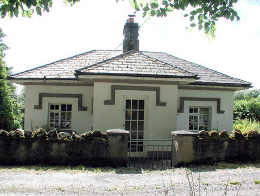 Glenfarne Hallgate lodge · 262 yd
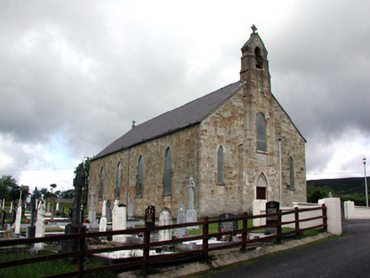 Saint Mary's Catholic Churchchurch/chapel · 275 yd
 Sweat Ho.Sweathouse · 736 yd
 IndicatedEnclosure · 1259 yd
 CorrevanMountain / peak · 1.1 mi
 Lough MacNean WalkWalking route · 1.2 mi
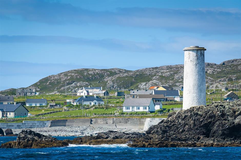 Bilberry IslandIslet · 1.4 mi
 Saint Patrick's IslandIslet · 1.5 mi
 Port IslandCastle, Anglo-Norman masonry castle · 1.5 mi
 Giant's GraveArchaeological place · 1.6 mi
 BarranMountain / peak · 1.9 mi
 Cavan BurrenHeritage attraction · 4.1 mi