What is recorded here
In County Down, a prehistoric standing stone vanished before anyone recorded whether it was a boundary marker, a burial post, or a child's climbing toy. What remains is an empty circle of grass, the kind of place where people point and argue about what the soil forgot.
The official Northern Ireland record identifies this as STANDING STONE (removed). Recorded period: PREHISTORIC; UNCERTAIN. The official map point was placed at the centre of the recorded archaeological site from the source map reference.
The monument record does not grant public access. Check the route and ask the landowner before entering private land.
- What survives
- Recorded monument
Places near here
 ENCLOSURE in BallymageoghENCLOSURE · 1592 yd
 ENCLOSURE in AughrimENCLOSURE · 1617 yd
 KnockchreeMountain / peak · 1.3 mi
 Springfield VillaCountry House · 1.4 mi
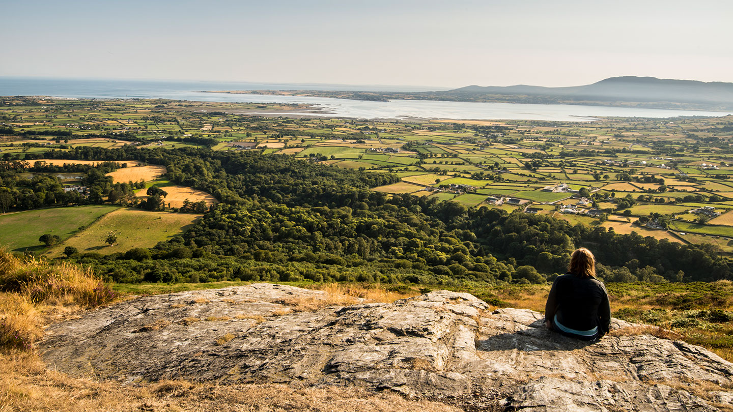 Mourne ParkWood · 1.7 mi
 "George's"House · 1.7 mi
 Hanna's Close WalkWalking route · 1.8 mi
 Silent ValleyVisitor information · 2.0 mi
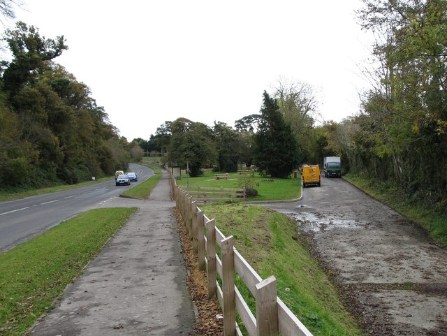 Whitewater Picnic Area & Disabled Fishing sitePicnic place · 2.2 mi
 SlievenagoreMountain / peak · 2.3 mi
 Crocknafeola WoodForest · 2.7 mi
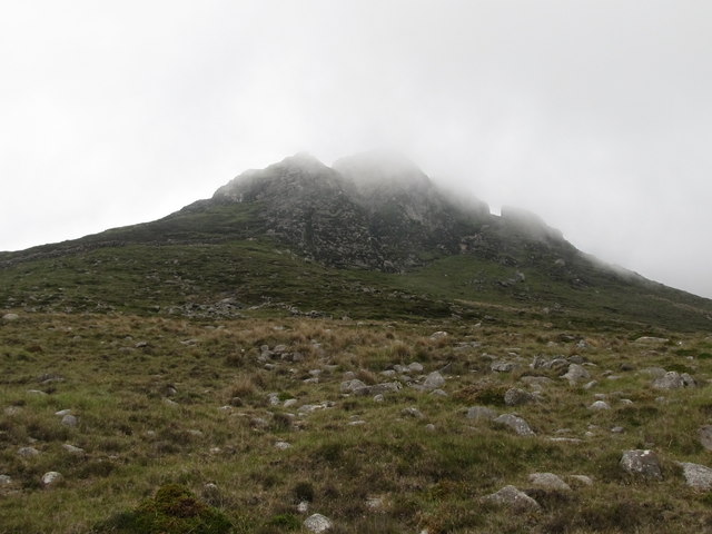 Wee BinnianCliff · 3.2 mi