What is recorded here
Standing stone described in 1987 by the 'Castleisland District Archaeological Survey' as a 'large blocklike sandstone [dims. 2.2m x 0.65m x 0.65m] is [now] lying horizontally forming the upper portion of a field fence. The landowner recalled the standing stone standing upright 20-30 feet [6 - 9m] to the south of its present location' (SMR File).
See original location KE032-019001-
Compiled by: Caimin O'Brien
Date of upload: 27 April 2022
The monument record does not grant public access. Check the route and ask the landowner before entering private land.
- What survives
- Recorded monument
Places near here
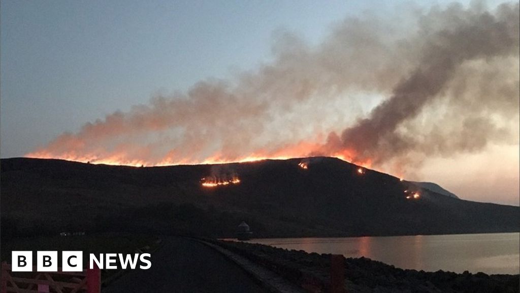 Burnt spread in Gneeves (trughanacmy By.)Burnt spread · 1.9 mi
 KnockateeMountain / peak · 2.3 mi
 Mount EagleMountain / peak · 2.6 mi
 (Site of) ChurchChurch · 3.1 mi
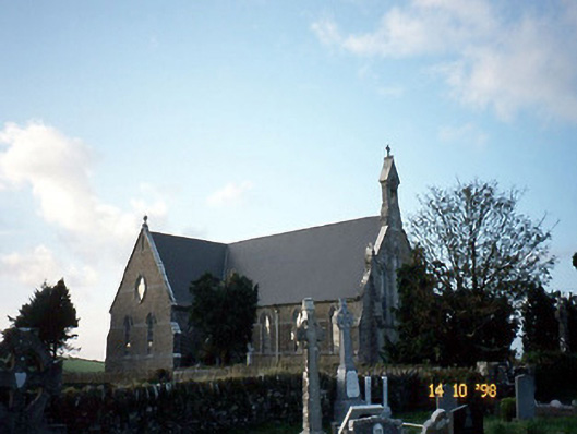 Saint Carthage's Catholic Churchchurch/chapel · 3.1 mi
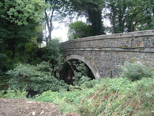 Breanagh Bridgebridge · 3.9 mi
 Three CountiesPicnic place · 4.0 mi
 Kilmurry CastleCastle · 4.4 mi
 Castle (in ruins)Castle, unclassified · 4.4 mi
 Crag CaveCave · 6.3 mi
 Barna BogForest · 8.5 mi
 Saint Ite's WellSpring · 12 mi