What is recorded here
Knocknadarriv holds a large sandstone block now buried horizontally inside a field fence, yet memory places it upright nine metres south. The stone may have marked a boundary, a burial or a warning before people stopped asking it questions. What is certain is that Knocknadarriv still keeps the shape of the place where the stone stood, even if the stone itself has been reduced to fence material.
Standing stone described in 1987 by the 'Castleisland District Archaeological Survey' as a 'large blocklike sandstone [dims. 2.2m x 0.65m x 0.65m] is [now] lying horizontally forming the upper portion of a field fence. The landowner recalled the standing stone standing upright 20-30 feet [6 - 9m] to the south of its present location' (SMR File).
See original location KE032-019001-
Compiled by: Caimin O'Brien
Date of upload: 27 April 2022
The monument record does not grant public access. Check the route and ask the landowner before entering private land.
- What survives
- Recorded monument
Places near here
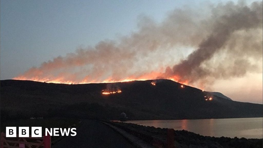 Burnt spread in Gneeves (trughanacmy By.)Burnt spread · 1.9 mi
 KnockateeMountain / peak · 2.3 mi
 Mount EagleMountain / peak · 2.6 mi
 (Site of) ChurchChurch · 3.1 mi
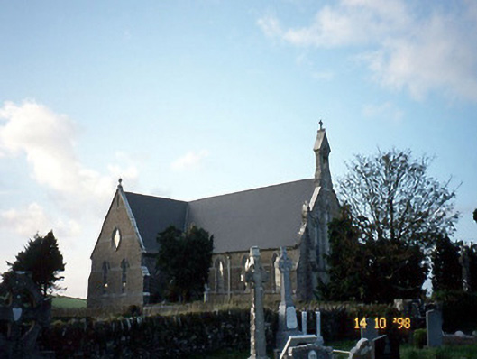 Saint Carthage's Catholic Churchchurch/chapel · 3.1 mi
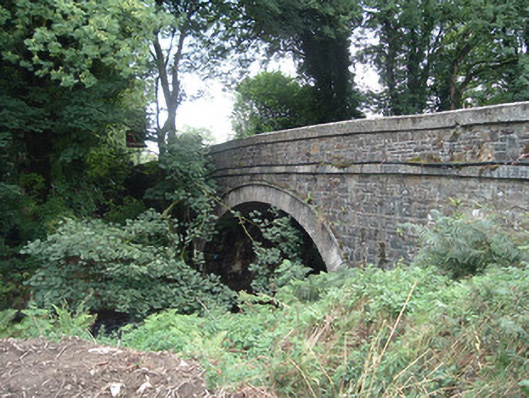 Breanagh Bridgebridge · 3.9 mi
 Three CountiesPicnic place · 4.0 mi
 Kilmurry CastleCastle · 4.4 mi
 Castle (in ruins)Castle, unclassified · 4.4 mi
 Crag CaveCave · 6.3 mi
 Barna BogForest · 8.5 mi
 Saint Ite's WellSpring · 12 mi