What is recorded here
Two upright stones face each other across a narrow gap in County Clare, forming a doorway nobody built but everybody remembers. They may have marked a boundary, a meeting place or a warning, yet their true purpose has faded like footprints in rain. The gap between them is small enough to touch on both sides at once, large enough to swallow a person whole.
The Archaeological Survey of Ireland (ASI) is in the process of providing information on all monuments on The Historic Environment Viewer (HEV). Currently the information for this record has not been uploaded. To access available information for research purposes please make an appointment in advance with the Archive Unit (open Fridays 10.00 am – 5.00 pm), Department of Housing, Local Government and Heritage, The Custom House, Dublin 1 D01W6XO or email NMarchive@housing.gov.ie.
The monument record does not grant public access. Check the route and ask the landowner before entering private land.
- What survives
- Recorded monument
Places near here
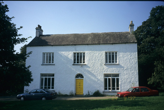 Brooklawn Houserectory/glebe/vicarage/curate's house · 49 yd
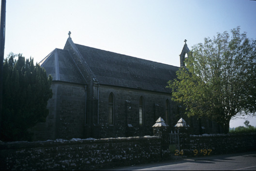 Saint Joseph's Catholic Churchchurch/chapel · 178 yd
 Common LimeCommon Lime · 377 yd
 Round tower in TomgraneyRound tower · 379 yd
 Tuamgraney Community WoodlandsWood · 755 yd
 Tobercoolan (Covered)Holy well · 1159 yd
 Coolreagh Ho. (in Ruins)Castle, tower house · 1.8 mi
 Caherhurly Castle (in Ruins)Castle, unclassified · 1.8 mi
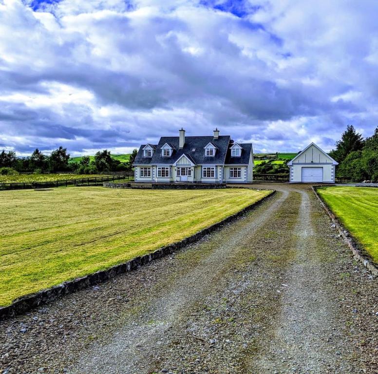 Scarriff BayBay · 2.7 mi
 Inishcaltra or Holy IslandIslet · 4.1 mi
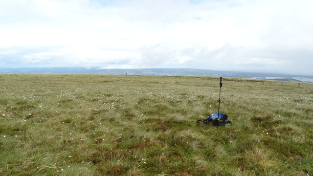 MoylussaMountain / peak · 4.5 mi
 Crow IslandIslet · 5.2 mi