What is recorded here
Two tall stones still stand between Millstreet and Ballinagree, waiting for the names and reasons their makers lost. They may have marked a boundary, guided a ritual, or simply watched the fields grow. Whatever they meant, they survived every empire that forgot them.
Situated between two ridges of outcropping rock and within 1.5m of the foot of the S one are two upright stones, aligned NE-SW, standing 4.1m apart. The SE stone (1.3m x 0.25m; H 1m) stands on slightly higher ground than the NW stone (1.1m x 0.4m; H 1m).
The above description is derived from 'The Archaeological Inventory of County Cork. Volume 5' (Dublin: Stationery Office, 2009).
Date of upload: 22 December 2009
The monument record does not grant public access. Check the route and ask the landowner before entering private land.
- What survives
- Recorded monument
Places near here
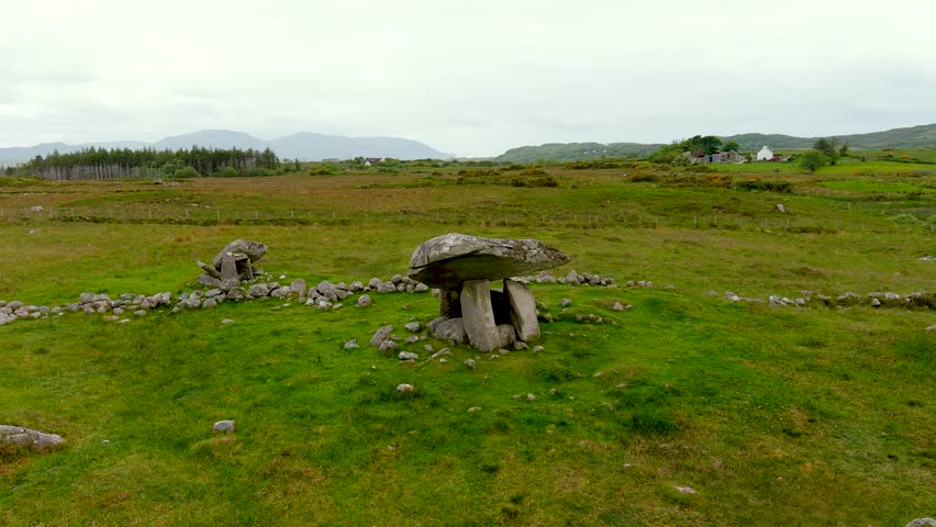 DolmenWedge tomb · 660 yd
 IndicatedKiln, lime · 786 yd
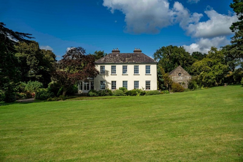 Man-made underground passageMan-made underground passage · 788 yd
 St John the Baptist Roman Catholic Churchchurch/chapel · 1216 yd
 BurrenMountain / peak · 1508 yd
 Black WoodWood · 1.4 mi
 Clonavrick CliffCliff · 1.6 mi
 Ummera WoodWood · 2.8 mi
 Mullinhassig WaterfallWaterfall · 3.5 mi
 Battle of Macroombattle · 3.5 mi
 Macroom WalksVisitor information · 3.6 mi
 Macroom Castle (in Ruins)Castle, tower house · 3.6 mi