What is recorded here
Two upright stones stand twenty centimetres apart on a southern slope in County Cork, a small stone wedged between their bases like a secret kept from everyone else. The northern stone reaches seventy centimetres while the southern touches a metre and a quarter, forming a narrow gate that may have marked a boundary, a memory or a forgotten ceremony. Nine metres east, a fallen stone lies waiting to be explained, suggesting the pair is not complete but interrupted.
In mountainous overgrown terrain, on a break in a S-facing slope. Two upright stones, aligned N-S, stand 0.2m apart. A small stone is wedged between the bases of the N stone (0.88m x 0.36m; H 0.7m) and the S stone (1.2m x 0.26m; H 1.26m). A prostrate stone lies 9m to the E. Its relationship, if any, to the monument is unclear. The possibility that these stones might be the last remnants of another monument class cannot be excluded.
The above description is derived from 'The Archaeological Inventory of County Cork. Volume 5' (Dublin: Stationery Office, 2009).
Date of upload: 22 December 2009
Likely dating to the Late Neolithic or Bronze Age, the pair of standing stones may have functioned as a ritual or ceremonial alignment, possibly marking a territorial boundary or serving as an astronomical marker. No specific folklore is recorded, but such paired stones often feature in local legends as markers for ancient pathways or sites of supernatural activity.
The monument record does not grant public access. Check the route and ask the landowner before entering private land.
- What survives
- Recorded monument
Places near here
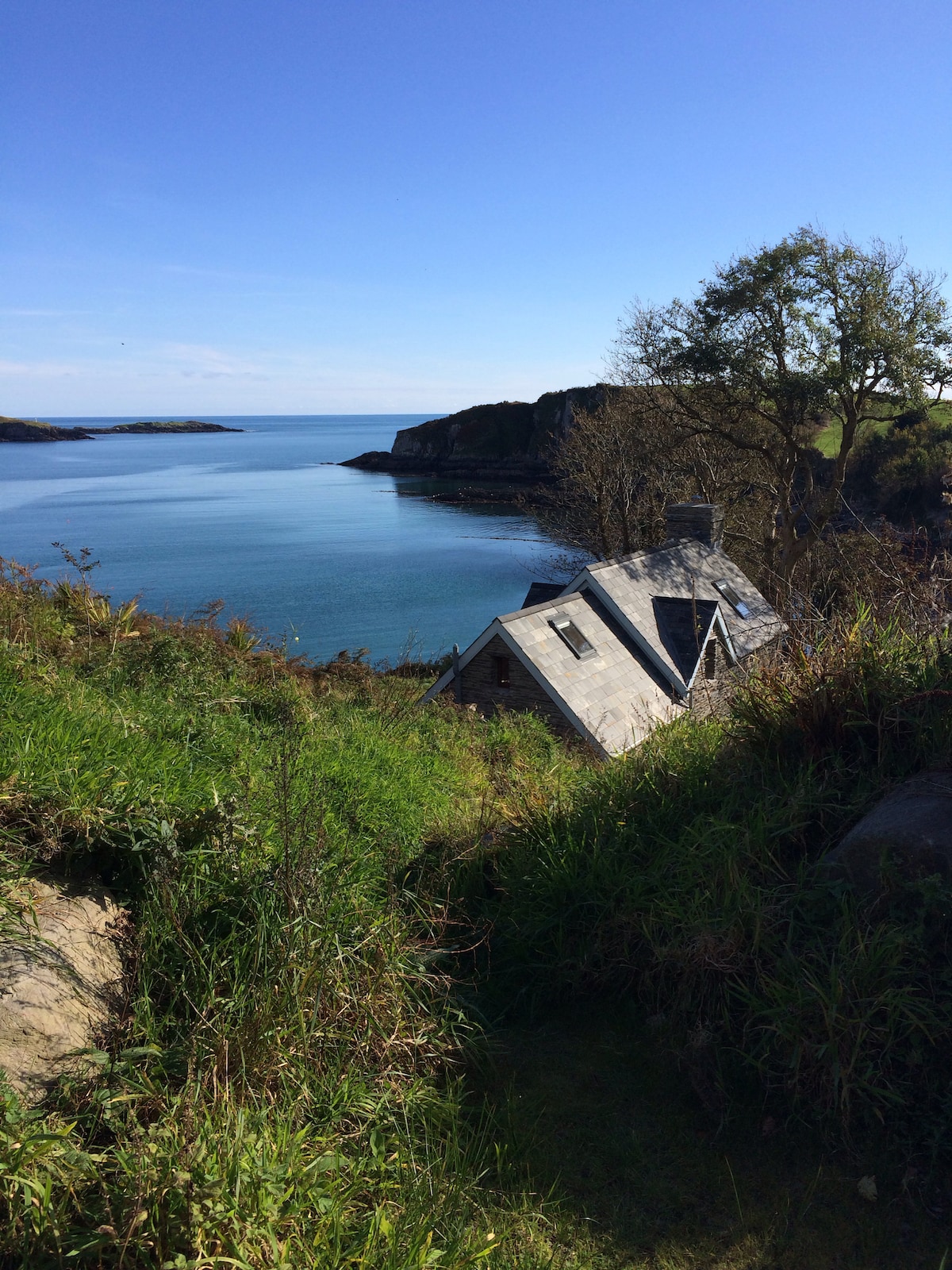 Hut site in BaurgarriffHut site · 621 yd
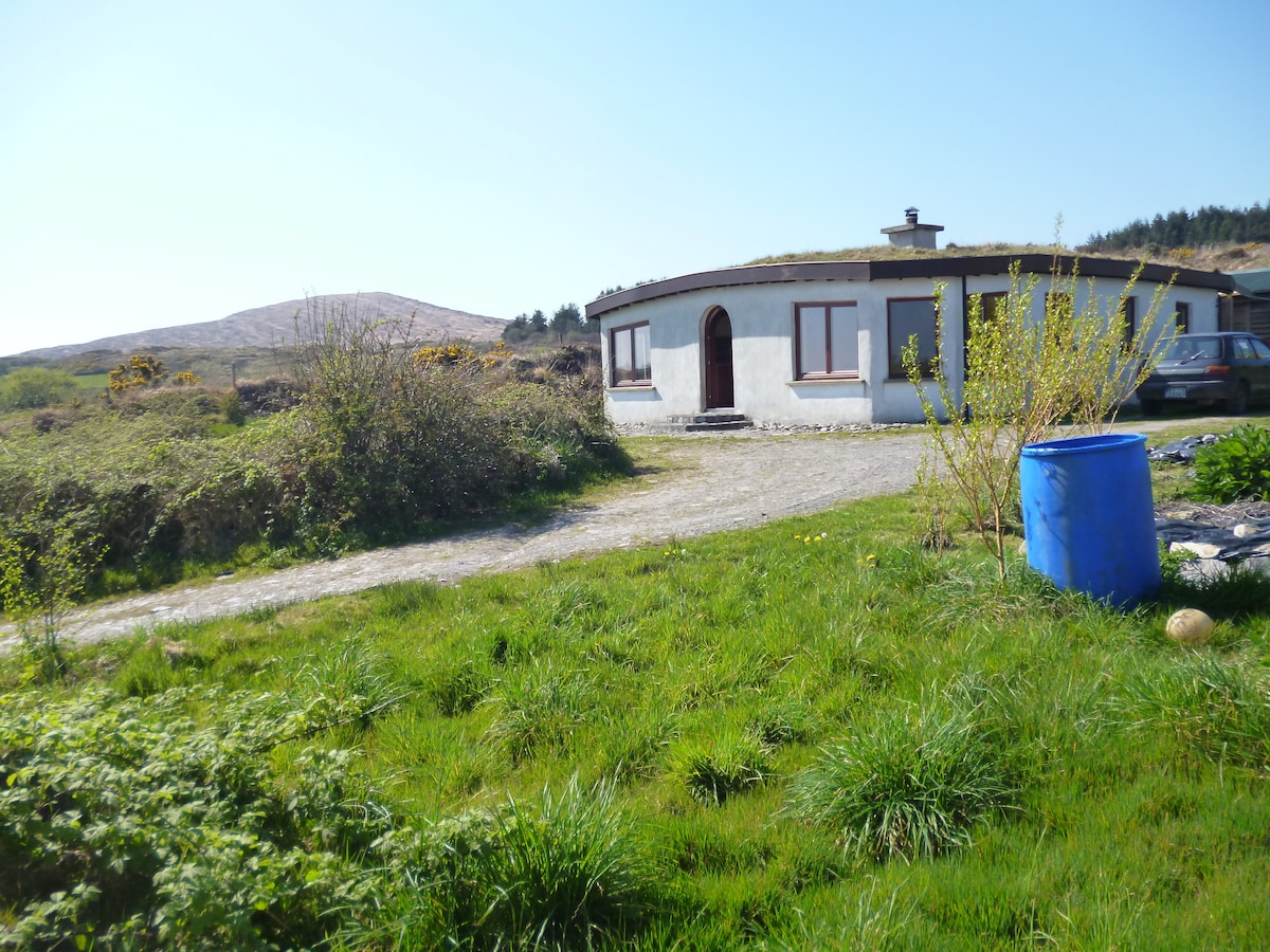 Hut site in MullaghmeshaHut site · 1.3 mi
 Mullach MéiseMountain / peak · 1.3 mi
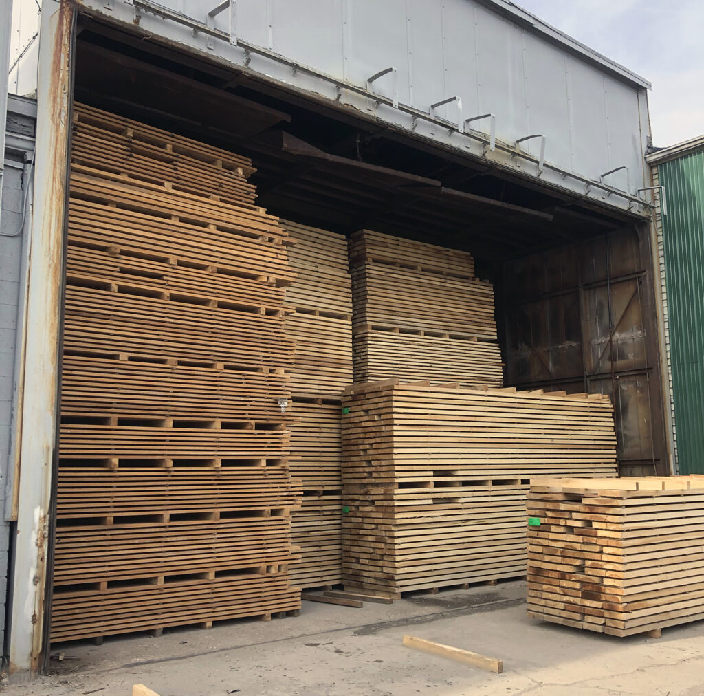 KilnKiln, corn-drying · 1.9 mi
 Castle DonovanCastle · 2.0 mi
 Castle Donovan (in Ruins)Castle, tower house · 2.0 mi
 Francis O'Neill PlaqueMemorial · 2.1 mi
 Dromore Schoolschool · 2.5 mi
 Delish Cascade WalkWalking route · 2.5 mi
 Moyny Bridge WalkWalking route · 3.1 mi
 Nowen Hill SW TopMountain / peak · 3.2 mi
 Kealkill stone circleVisitor information · 4.1 mi