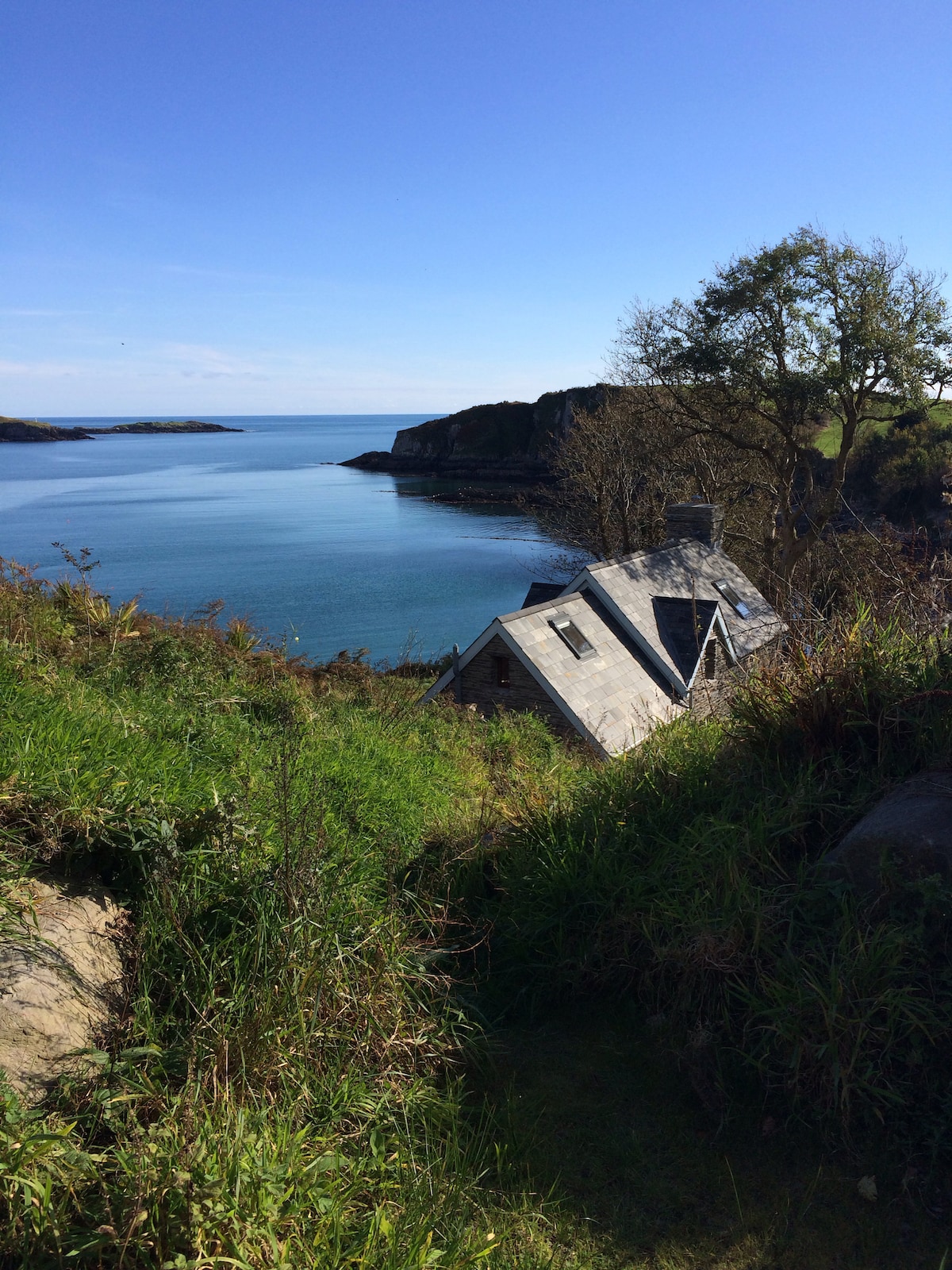
What is recorded here
In rough hill pasture, on a break on a SW-facing slope. The remains of an oval hut site (4.7m NE-SW; 3.1m NW-SE) defined by intermittent stretches of the lower course of a stone wall (T 0.45m; H 0.1m) SE-NW. No stones are visible along the NW-SE arc, but they may be hidden under the bog cover. The SW half of the level interior is raised (H 0.6m) to compensate for the hillslope. This raised area is externally faced.
The above description is derived from 'The Archaeological Inventory of County Cork. Volume 5' (Dublin: Stationery Office, 2009).
Date of upload: 22 December 2009
The monument record does not grant public access. Check the route and ask the landowner before entering private land.
- What survives
- Recorded monument
Places near here
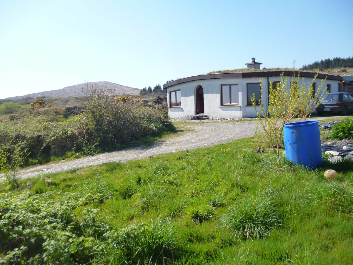 Hut site in MullaghmeshaHut site · 1.2 mi
 Mullach MéiseMountain / peak · 1.3 mi
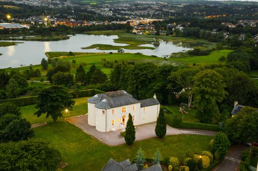 Man-made underground passage in Kilmore (carbery West (e.d) By.)Man-made underground passage · 1.4 mi
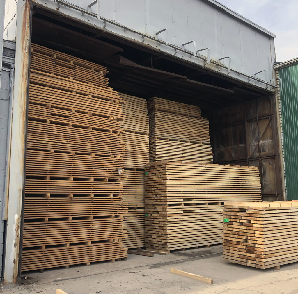 KilnKiln, corn-drying · 1.6 mi
 Castle DonovanCastle · 1.6 mi
 Castle Donovan (in Ruins)Castle, tower house · 1.6 mi
 Delish Cascade WalkWalking route · 2.2 mi
 Francis O'Neill PlaqueMemorial · 2.4 mi
 Dromore Schoolschool · 2.5 mi
 Moyny Bridge WalkWalking route · 2.8 mi
 Nowen Hill SW TopMountain / peak · 3.0 mi
 Kealkill stone circleVisitor information · 4.4 mi
Other information
Photo: Credit not shown in the picture search · Rights wording not checked; contact us if this picture should be removed