What is recorded here
Two upright stones face each other across 2.6m of pasture on the SE foothills of Miskish Mountain, one leaning west like a person tired of standing straight. They overlook Berehaven, and a larger stone circle waits 200m to the SW, as if the pair were sent ahead to mark the way. Perhaps people once walked between them at sunrise, reading the gap like a sentence. The stones have kept that gap open through every storm since.
On level pasture, on the SE foothills of Miskish Mountain overlooking Berehaven. Two upright stones, aligned NE-SW, stand 2.6m apart. The NE stone (0.78m x 0.55m; H 1.35m) is irregular in section and leans to the W. The SW stone (0.67m x 0.24m; H 0.85m) is rectangular in section. A multiple-stone circle (50, vol. 1) is c. 200m to the SW.
The above description is derived from 'The Archaeological Inventory of County Cork. Volume 5' (Dublin: Stationery Office, 2009).
Date of upload: 22 December 2009
Probably dating to the Late Neolithic or Bronze Age, the pair may have functioned as a boundary marker, ritual alignment, or astronomical indicator. Such paired stones are sometimes associated with territorial or ceremonial use, though specific folklore or symbolic meaning for this site is not recorded.
The monument record does not grant public access. Check the route and ask the landowner before entering private land.
- What survives
- Recorded monument
Places near here
 GallaunsStone circle, multiple-stone · 211 yd
 Derreenataggart Stone CircleArchaeological place · 218 yd
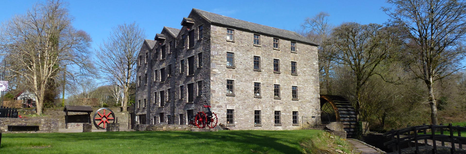 Tuck MillMill, fulling · 666 yd
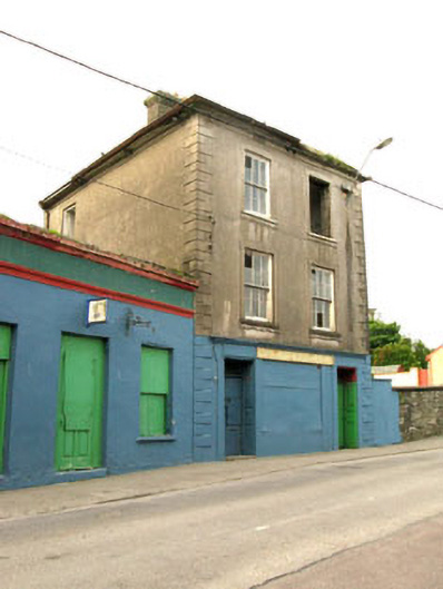 The Silver Dollar Barhouse · 1178 yd
 Sarah Walker GalleryGallery · 1289 yd
 Berehaven Battalion MemorialMemorial · 1352 yd
 Dinish IslandIslet · 1.2 mi
 Castle (in Ruins)Castle, tower house · 1.5 mi
 Siege of Dunboysiege · 1.5 mi
 Sheep IslandsIslet · 1.6 mi
 Eagle HillMountain / peak · 1.7 mi
 Miskish MountainMountain / peak · 1.7 mi