What is recorded here
Halfway down a S-facing hill slope, in upland terrain. The stone pair is located in an area of neglected waste ground, between the road to the S and a field bank to the N, which is overgrown with brambles, thistles and nettles. It has also been used as a dumping ground for field clearance, as evidenced by a number of small boulders lying in and around the pair. View is blocked by rising slope to the N, and by hills, trees and scrubs to the W, extensive to the E, though currently obstructed by a shed and silage bales, and overlooking lower hills and Silvermines Mountains beyond to the S. Identified and reported by Ger Hickey.
A stone pair aligned E-W, composed of grey Silurian sandstone. The stone to the E is taller (H 1.41m), and of an irregular diamond shape in plan (Wth NE 0.62m; SE 0.56m; SW 0.76m; NW 0.82m; max L 1.27m; max Wth 0.67m). Its SW face is quite sheer and straight, while its N side bulges out c. 0.54m from ground level. All sides taper up to a roughly central point. The lower stone (H 1.16m) stands 0.70m to the W. It is roughly triangular in plan, with the long point of the triangle towards the E (L N 0.83m; S 1.13m; max L 1.14m; Wth SW 0.42m; NW 0.33m; max Wth 0.58m). It also tapers to a point, with the top peak to the W of the stone showing evidence of stone spalling. The S face is quite sheer but starts to taper towards the top, from c. 0.70m above ground, while the N face tapers to the top from c. 0.50m above ground. There is some moss and lichen growing on both stones.
Compiled by: Anne-Julie Lafaye
The monument record does not grant public access. Check the route and ask the landowner before entering private land.
- What survives
- Recorded monument
Places near here
 Corbally HillMountain / peak · 946 yd
 Giant's GraveArchaeological place · 1105 yd
 Coum HillMountain / peak · 1415 yd
 CastleCastle, unclassified · 1484 yd
 LisdromoreFairy fort / earthen ringfort · 1672 yd
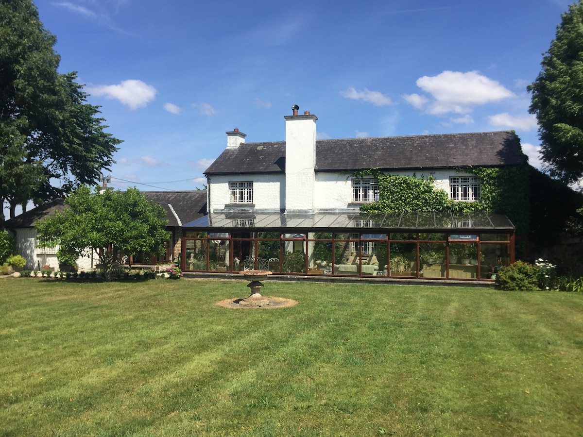 Enclosure in Curragh (castletownarra Par.),lackamore (castletownarra Par.)Enclosure · 1.1 mi
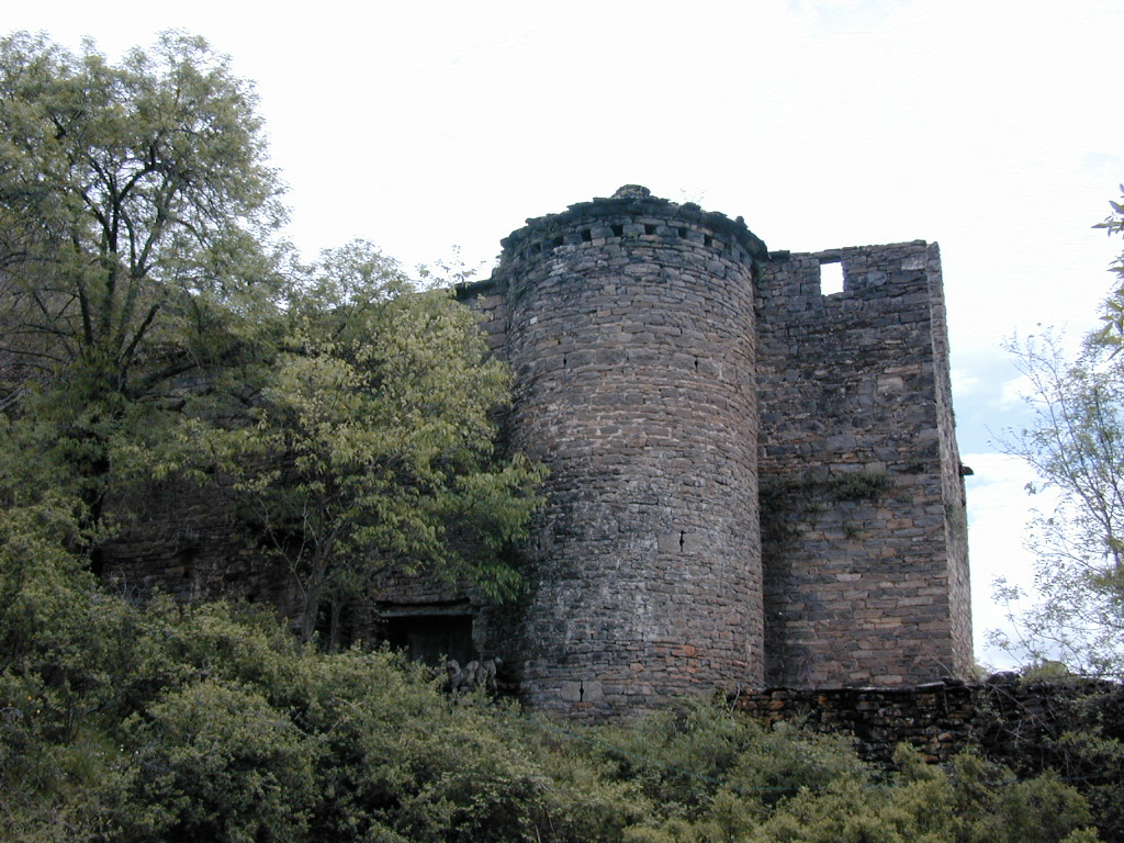 (Site of) Pallas CastleCastle, Anglo-Norman masonry castle · 1.6 mi
 Pallas Church (in Ruins)Church · 1.9 mi
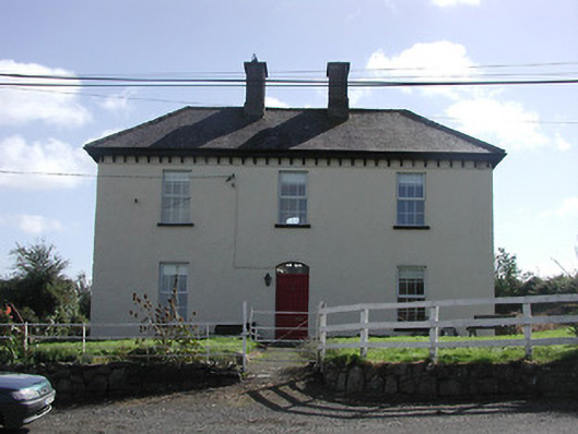 Dower HouseRIC barracks · 2.2 mi
 Saint Patrick's RockNamed rock · 2.2 mi
 Millenium CrossHeritage attraction · 2.3 mi
 Model Farm 1850Heritage attraction · 3.0 mi