What is recorded here
On a slight rise in cutaway bog, c. 40m to the SE of an enclosure (GA022-030002-). Aligned NW-SE and 1.8m apart. Both stones are of white quartz. The N stone is oval in plan (H 0.8m) and S stone is prostrate (1.3m by 0.75m). Another set stone lies 1.55m to SE but its relationship to the pair is unclear. It is rectangular in plan (H 0.4m). Both stones are clearly visible on current aerial imagery (OSi Digitalglobe 2011-2013; Geohive MapGenie Imagery 2013-2018). (Ó Nualláin 1988, 195)
The above description is derived from the published 'Archaeological Inventory of County Galway Vol. I - West Galway'. Compiled by Paul Gosling (Dublin: Stationery Office, 1993).
Updated by: Olive Alcock
Date of revised upload: 27 January 2023
Probably dating to the Late Neolithic or Bronze Age, the pair may have functioned as boundary markers or ritual markers within a broader landscape of ceremonial activity. Their use of white quartz, a material often associated with symbolic or spiritual significance, may reflect local beliefs or traditions linked to light, purity, or the supernatural.
The monument record does not grant public access. Check the route and ask the landowner before entering private land.
- What survives
- Recorded monument
Places near here
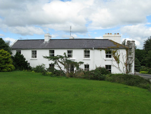 Crocknaraw Househouse · 807 yd
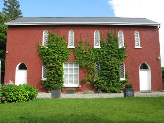 The Old School Houseschool · 979 yd
 ToberdavinHoly well · 1711 yd
 Enclosure in Tooreen (ballynahinch By., Ballynakill Par.)Enclosure · 1.3 mi
 DerrylahanMountain / peak · 1.8 mi
 RoeillaunIslet · 2.1 mi
 Boolard IslandIslet · 2.9 mi
 Freaghillaun SouthMountain / peak · 2.9 mi
 Connemara National Park Visitor CentreHeritage attraction · 3.0 mi
 Connemara National ParkNational park · 3.0 mi
 Bawn in Doon (ballynahinch By.)Bawn · 3.4 mi
 Abbeyglen Castle HotelCastle · 3.5 mi