What is recorded here
This pair of standing stones, not marked on the OS maps, is located in elevated pasture on a gentle S facing slopeof Bolus mountain, and overlooks the Atlantic to S. Set 1.3m apart in a N-S line, both stones are roughly rectangular in elevation. The taller, at S, is 1.76m high md measures .52m x .18m at base. The second stone stands 1.5m high, and is .56m x .23m at base
The above description is derived from A. O'Sullivan and J. Sheehan (compilers), 'The Iveragh peninsula: an archaeological survey of South Kerry'. Cork University Press (1996), no. 116. In certain instances the entries have been revised and updated in the light of recent research.
Date of upload: 28 July 2013
The monument record does not grant public access. Check the route and ask the landowner before entering private land.
- What survives
- Recorded monument
Places near here
 Galláin/ Standing Stones.Archaeological place · 6 yd
 Megalithic structure in DuicheallaMegalithic structure · 358 yd
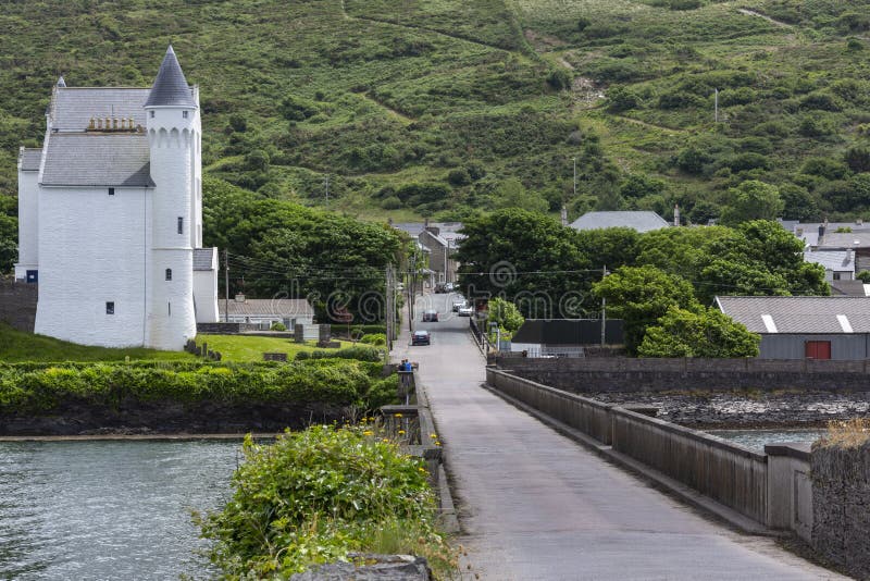 Cuas na gColúr/Cove of the Pigeons.Cave · 730 yd
 Cuas an tSeaga/Commorant Cove.Cave · 745 yd
 Cuas a' Daimh /Ox Cove.Bay · 878 yd
 Bolus Napoleonic Signal TowerRuins · 938 yd
 WWII Lookout PostRuins · 970 yd
 Pointe na Leacacha/Point of the Flagstones.Headland · 1025 yd
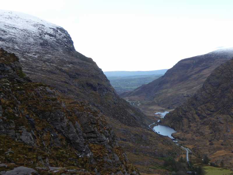 Cnoc Ceannúch (Canuig Mountain)Mountain / peak · 1.1 mi
 Bogha SínMountain / peak · 1.3 mi
 Liberator "63939" monumentMemorial · 1.3 mi
 Trá PhraisceBeach / strand · 1.9 mi