What is recorded here
Marked as a standing stone on the 1st edition of the OS 6-inch map and as 'Carrickahattan' on the 2nd and 3rd editions. Its location on the NW slopes of Croaghnameal mountain is almost inaccessible and it could not be inspected.
The above description was derived from the 'Archaeological Survey of County Donegal. A description of the field antiquities of the County from the Mesolithic Period to the 17th century.' Compiled by: Brian Lacey with Eamon Cody, Claire Cotter, Judy Cuppage, Noel Dunne, Vincent Hurley, Celie O'Rahilly, Paul Walsh and Seán Ó Nualláin (Lifford: Donegal County Council, 1983). In certain instances the entries have been revised and updated.
Date of upload: 22 September 2008
Likely dating to the Neolithic or Bronze Age, the Barnesyneilly standing stone pair may have functioned as a ritual or territorial marker. The name "Carrickahattan" suggests a possible early Christian or Gaelic association, though its original prehistoric meaning remains unclear.
The monument record does not grant public access. Check the route and ask the landowner before entering private land.
- What survives
- Recorded monument
Places near here
 The Ring, Leghawny Stone EnclosureEnclosure · 2.4 mi
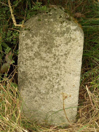 milestone/milepostmilestone/milepost · 2.8 mi
 Aghlem Bridgebridge · 2.9 mi
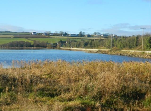 Pettigo Plateau Nature ReserveNational nature reserve · 3.3 mi
 Enclosure in ArdeevinEnclosure · 3.4 mi
 Bulls IslandIslet · 3.6 mi
 BarnesmoreMountain / peak · 3.7 mi
 Killeter ForestForest · 4.0 mi
 Saints IslandIsland · 4.2 mi
 IndicatedBawn · 4.2 mi
 Benson's HillMountain / peak · 4.4 mi
 Old CastleCastle, tower house · 4.9 mi