What is recorded here
Situated on a very slight SE-facing slope in gently undulating pasture. A deep V-shaped valley and stream are located 12m to NE. The stone pair consists of two sandstone blocks set 5.5m apart on a NE-SW alignment. The SW stone (1.15m N−S; 0.7m E−W; H 0.95m) is roughly diamond-shaped in section with a gently rounded top. The NE stone (0.8m NW−SE; 0.7m NE−SW; H 1.25m) is square in section with a roughly rounded top, which is stepped in profile on its NE−SW axis. No markings or decoration are evident on either stone.
Compiled by: Patrick F. O'Donovan
Date of upload: 21 April 2011
The monument record does not grant public access. Check the route and ask the landowner before entering private land.
- What survives
- Recorded monument
Places near here
 Enclosure in BarnadergEnclosure · 447 yd
 IndicatedFairy fort / stone ringfort · 507 yd
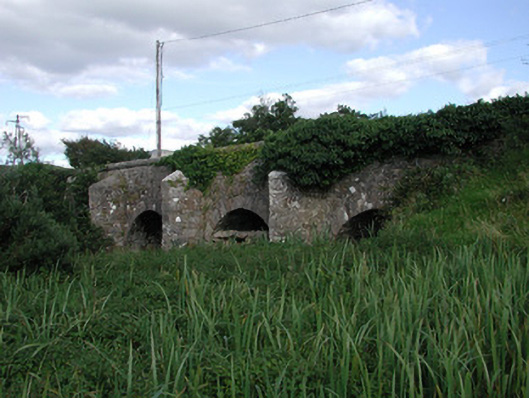 Ardnaglass Bridgebridge · 1168 yd
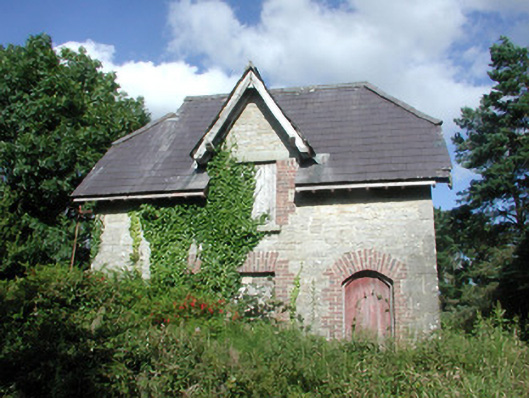 Benbulbin Old Schoolschool master's house · 1336 yd
 CastleCastle, unclassified · 1659 yd
 Atlantic SheepdogsHeritage attraction · 1.5 mi
 InishnagorIslet · 1.7 mi
 BenbulbinMountain / peak · 1.9 mi
 BenbulbenMountain · 2.1 mi
 Connors IslandIsland · 2.4 mi
 de Cuellar Armada MonumentMemorial · 2.4 mi
 Cat CornerWood · 2.5 mi