What is recorded here
No visible stone remains at Craigalappan, though the survey marker still points to a standing stone nobody has since found. The hill may have swallowed it, men may have broken it, or the original witness may have described a stone that no longer exists. In a county where every field boundary has been argued for centuries, a missing stone is not a failure of memory. It is a reminder that memory and map are not the same creature.
The official Northern Ireland record identifies this as STANDING STONE (O.S. memoir site; unlocated). Recorded period: PREHISTORIC; UNCERTAIN. The official map point was placed at the centre of the recorded archaeological site from the source map reference.
The monument record does not grant public access. Check the route and ask the landowner before entering private land.
- What survives
- Recorded monument
Places near here
 A.P. SITE: possible enclosure or barrow in CraigalappanA.P. SITE: possible enclosure or barrow · 268 yd
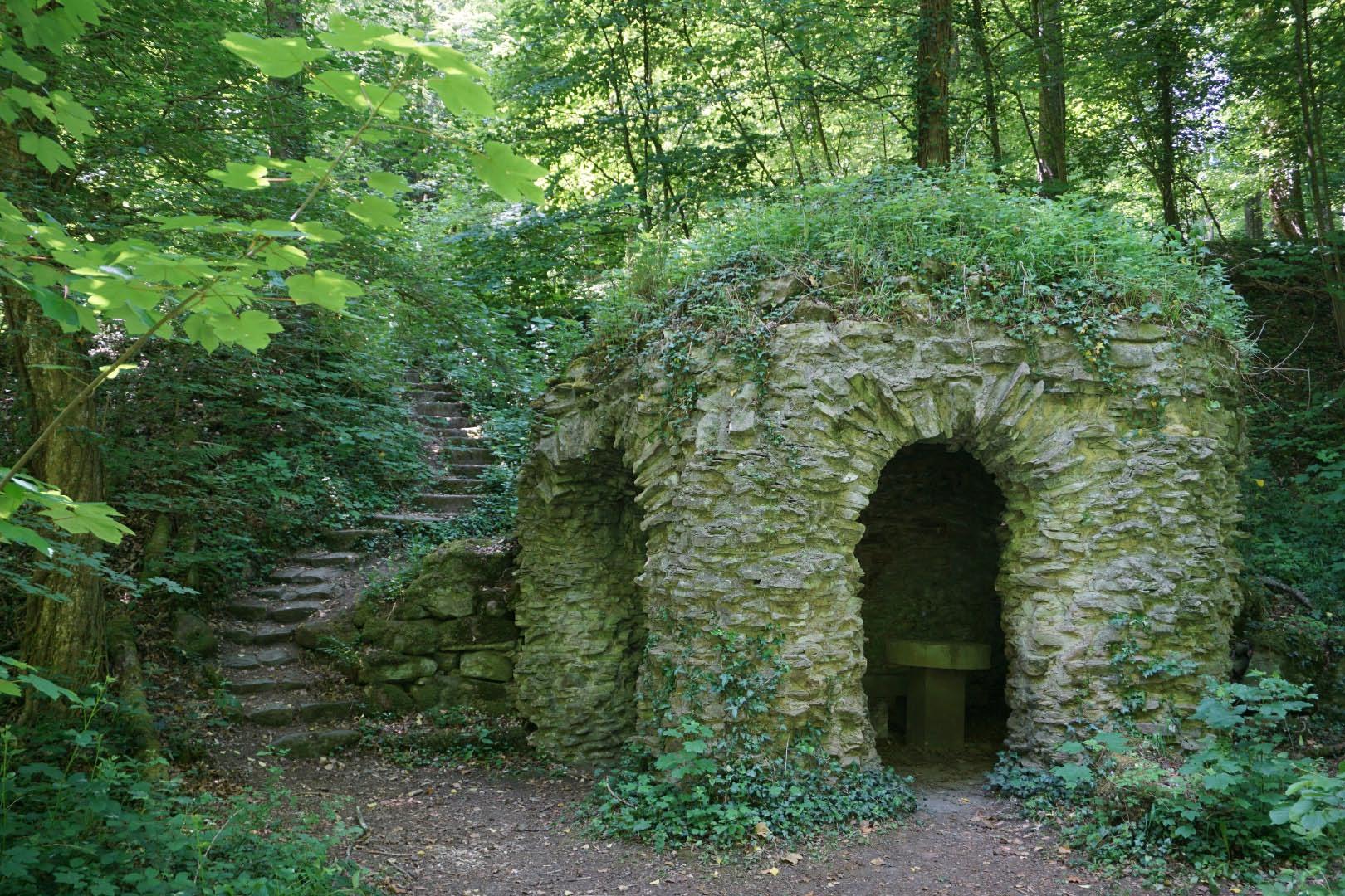 A.P. SITE: ENCLOSURE in Lemnagh BegA.P. SITE: ENCLOSURE · 1077 yd
 White Park BayVisitor information · 1.0 mi
 Fullerton ArmsPublic House · 2.2 mi
 Dunseverick FallsWaterfall · 2.3 mi
 DunsevrickCliff · 2.4 mi
 Dunseverick CastleCastle · 2.6 mi
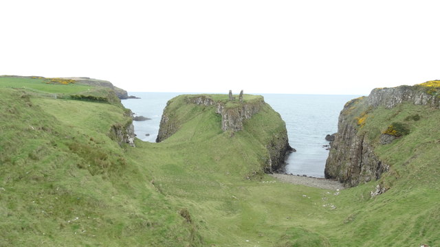 DUNSEVERICK CASTLE in Feigh Alias DunseverickDUNSEVERICK CASTLE · 2.6 mi
 Dunseverick Parish ChurchChurch · 2.6 mi
 Sheep IslandIslet · 3.0 mi
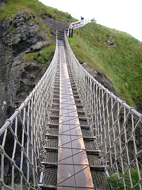 Carrick-a-rede Rope BridgeHeritage attraction · 3.1 mi
 Carrickarede IslandIslet · 3.2 mi