What is recorded here
On level ground, at the base of a NE-facing slope, leading down to the floodplain of the Groody River, which is c. 110m to NE. Fulacht fiadh (LI005-073----) located c. 160m to SE. Not depicted on OS historic mapping. Discovered during monitoring of topsoil stripping associated with the construction of the Castletroy distributor road (Cummins 2004). Described in 2004 as an upright stone (H 1.1m; Wth 0.65m; T 0.2m) with its long axis N-S and having no visible traces of packing stones at the base (ibid, 11). Not clearly visible, although marked by a thorn tree evident on Google Earth orthoimage taken 19/11/2019.
See attached Google Earth orthoimage 19/11/2019.
Compiled by: Alison McQueen and Vera Rahilly
Date of upload: 24 June 2020
Probably dating to the Neolithic or Early Bronze Age, this standing stone may have had a ritual or territorial function, possibly linked to the nearby fulacht fiadh, which was commonly used for cooking or ceremonial purposes. Local folklore or specific meaning is not recorded.
This remains an important historical record, but the official description says the monument is no longer visible or has been destroyed. The monument record does not grant public access. Check the route and ask the landowner before entering private land.
- What survives
- No visible remains or recorded as destroyed
Places near here
 Mary Magdalenes WellHoly well · 442 yd
 Furnace in CrabbslandFurnace · 773 yd
 Ballysimon MillsWater mill, vertical-wheeled · 944 yd
 Glenshielhouse · 1194 yd
 New CastleCastle · 1349 yd
 University of Limerick FlagpostsHeritage attraction · 1675 yd
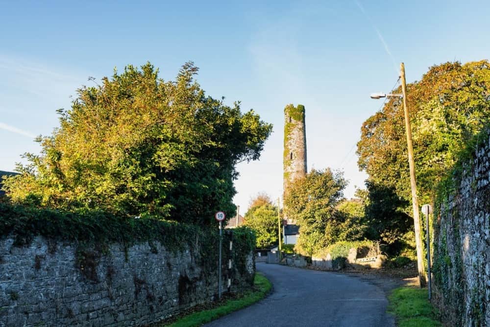 Round Tower (Site of)Castle, tower house · 1.1 mi
 St. Patrick's WellSpring · 1.1 mi
 Visitor CentreVisitor information · 1.2 mi
 Campus MapVisitor information · 1.3 mi
 Fountain SculptureHeritage attraction · 1.3 mi
 Sarsfield Memorialmonument · 1.8 mi