What is recorded here
Standing stone in Toughraheen is a 1.3m tall, 1.2m wide, 0.6m deep stone oriented ENE-WSW in undulating rough pasture in County Cork, Ireland. It is the kind of place where a person may have stood at dawn, marked a boundary, or watched the sky tilt over the pasture. The stone does not need a grand claim; it is large enough to see, old enough to remember, and still present in the field.
In undulating rough pasture. This standing stone (1.2m x 0.6m; H 1.3m) is orientated ENE-WSW.
The above description is derived from 'The Archaeological Inventory of County Cork. Volume 5' (Dublin: Stationery Office, 2009).
Date of upload: 22 December 2009
Likely dating to the Neolithic or Bronze Age, this standing stone may have functioned as a boundary marker, ritual monument, or astronomical alignment feature. No specific folklore or detailed local tradition is recorded for this site.
The monument record does not grant public access. Check the route and ask the landowner before entering private land.
- What survives
- Recorded monument
Places near here
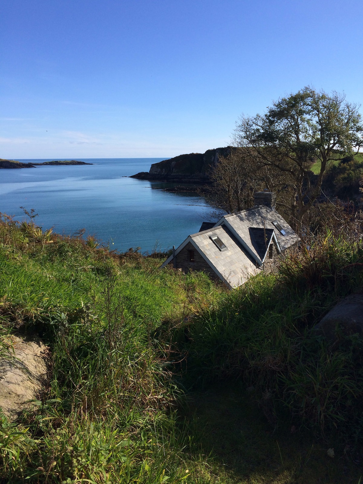 Hut site in BaurgarriffHut site · 894 yd
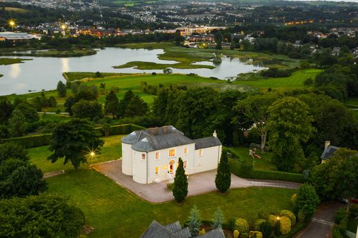 Man-made underground passage in Kilmore (carbery West (e.d) By.)Man-made underground passage · 1616 yd
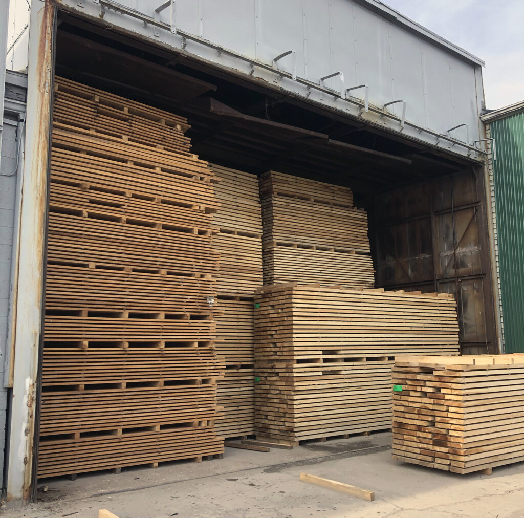 KilnKiln, corn-drying · 1.7 mi
 Castle DonovanCastle · 1.7 mi
 Castle Donovan (in Ruins)Castle, tower house · 1.7 mi
 Mullach MéiseMountain / peak · 1.8 mi
 Delish Cascade WalkWalking route · 2.0 mi
 Dromore Schoolschool · 2.2 mi
 Francis O'Neill PlaqueMemorial · 2.4 mi
 Moyny Bridge WalkWalking route · 2.4 mi
 Nowen Hill SW TopMountain / peak · 3.3 mi
 Kealkill stone circleVisitor information · 4.9 mi