What is recorded here
In forestry, on SE facing slope of Tinoran Hill, 310m SE of the summit of Tinoran Hill which is enclosed by a multi-vallate hillfort (WI026-004----). The stone stands between the third and fourth ramparts of the hillfort and is 35m NNW of the fourth rampart. The triangular-shaped standing stone (base dims. 0.42m x 0.72m; H 1.47m) is rhomboid in plan with its long-axis orientated N-S.
In August 2015 sample excavation under licence no. 15E0321 was conducted by Professor William O'Brien of UCC. The excavation was undertaken as part of a research project on prehistoric hillforts in Ireland, based in University College Cork and funded by the Irish Research Council. Part of the investigation at Tinoran consisted of the opening of Trench 1 across the levelled defences in a pasture field in the SE quadrant of the hillfort (O'Brien 2015, -6). The standing stone lies c. 50m N of this excavation trench.
Compiled by: Caimin O'Brien based on details kindly provided by Emmet Byrnes of the Forest Service
Date of upload: 3 April 2018
Probably dating to the Iron Age, given its proximity to a multi-vallate hillfort, the stone may have had a ritual or territorial function, possibly marking a boundary or serving as a visual marker within the hillfort's defensive landscape. No specific folklore or detailed use has been recorded for this stone.
The monument record does not grant public access. Check the route and ask the landowner before entering private land.
- What survives
- Recorded monument
Places near here
 Tinoran HillMountain / peak · 337 yd
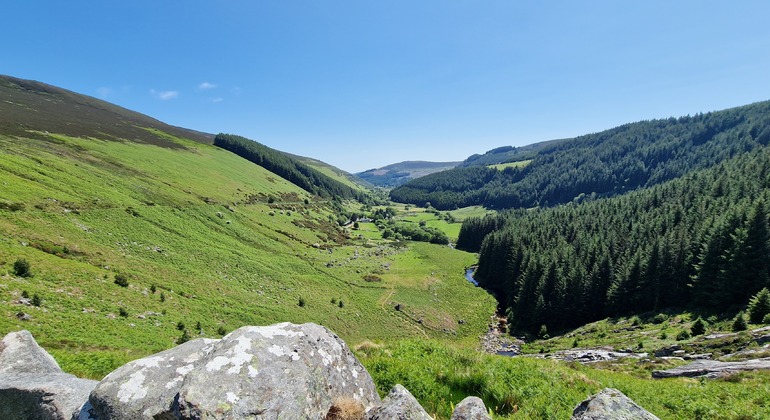 Outlined, Round OHillfort · 346 yd
 TobernasleigaHoly well · 962 yd
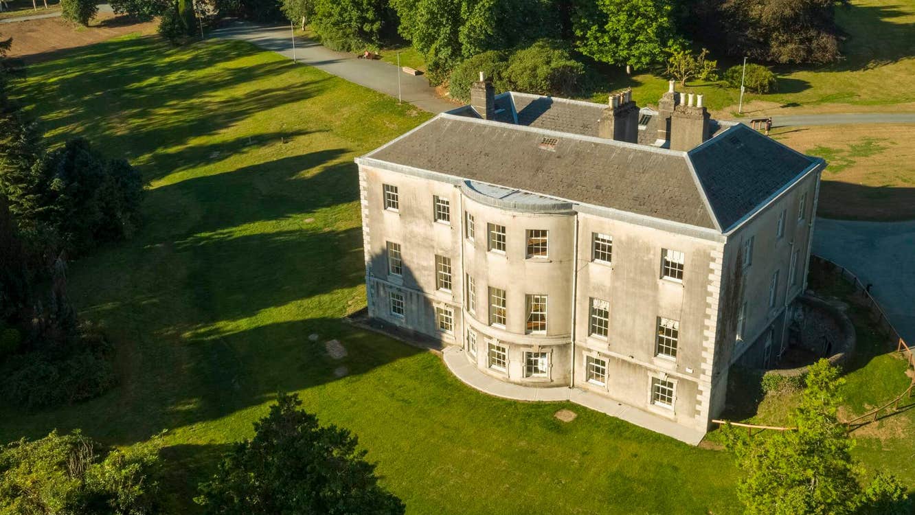 Site of Stratord LodgeRuins · 1713 yd
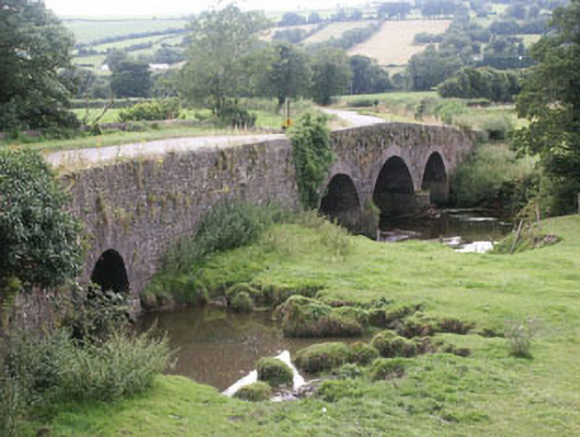 Eldon Bridgebridge · 1.1 mi
 CastleCastle, tower house · 1.2 mi
 European ashEuropean ash · 2.6 mi
 Partially OutlinedCastle, unclassified · 3.1 mi
 Rahill Church (in ruins), GraveyardChurch · 3.3 mi
 European LarchEuropean Larch · 3.8 mi
 Saint Brigit's Mass StoneNamed rock · 4.1 mi
 Sam McAllistair GraveMemorial · 4.1 mi