What is recorded here
Maulin Mountain drops south into Ballyheighue Bay, and one irregular stone still stands on that slope, 1.8m tall, 1.2m wide and .8m thick. Its south and east faces carry unusual markings, while smaller packing stones cluster at the base as if the hill had learned to hold something upright. People may have climbed past it to read the sea, mark a boundary or remember a loss; the stone no longer explains itself, but it remains large enough to be seen from a distance and strange enough to warrant looking twice.
Situated on the southern slopes of Maulin Mountain, it commands a panoramic view of Ballyheighue Bay and the Dingle Peninsula. The stone is irregularly shaped and rises to a height of 1.8m, 1.2m wide and .8m thick. There are some unusual markings on its S and E face. Packing stones are visible around the base.
The above description is derived from C. Toal, ‘North Kerry Archaeological Survey’. Dingle. Brandon in association with FAS Training and Employment Authority (1995), no. 16. In certain instances the entries have been revised and updated in the light of recent research.
Date of upload: 1 August 2013
Likely dating to the late Neolithic or Bronze Age, the standing stone may have functioned as a territorial marker, ceremonial focus, or astronomical alignment point. No specific folklore or inscriptions are recorded, though its prominent position suggests a symbolic or ritual significance in the landscape.
The monument record does not grant public access. Check the route and ask the landowner before entering private land.
- What survives
- Recorded monument
Places near here
 Enclosure in TiduffEnclosure · 541 yd
 St Macadaws Church (in ruins)Church · 1250 yd
 Enclosure in GlenderryEnclosure · 1333 yd
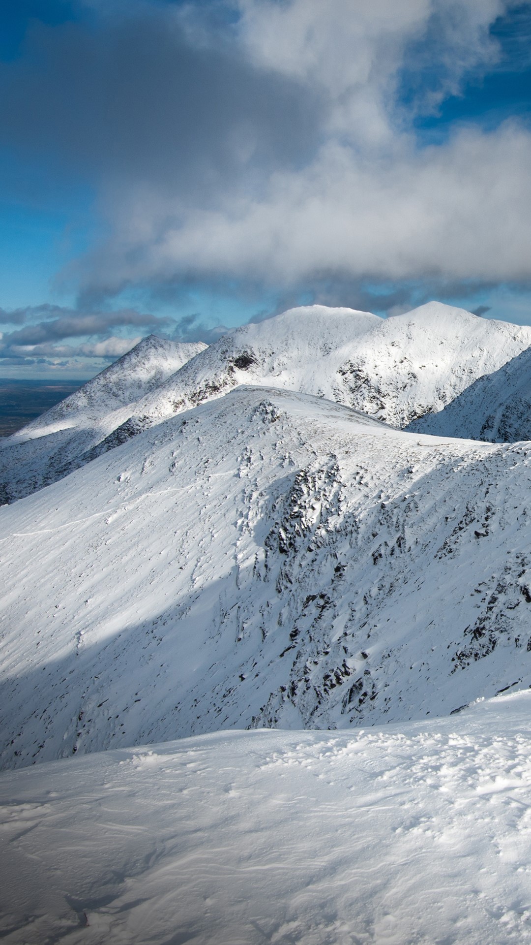 Triskmore MountainMountain / peak · 1475 yd
 Kerry Head Signal TowerRuins · 1682 yd
 Triskbeg MountainMountain / peak · 1.2 mi
 Our Lady's Holy WellSpring · 4.1 mi
 Site of Ballingarry CastleCastle, unclassified · 4.5 mi
 Castle Shannon (in ruins)Castle, unclassified · 5.4 mi
 Inshaboy PointHeadland · 5.9 mi
 Banna StrandBeach / strand · 6.1 mi
 Tralee BayBay · 6.6 mi