
What is recorded here
Listed as a 'Man-made underground passage - site' in the SMR (1990) and RMP (1997). It is depicted, however, on the OS 25-inch map (1892) as an oval area (c. 16m N-S; 10m E-W) enclosed by a bank SW-NNE and by a scarped edge NNE-SW. Fieldwork, carried out in 2000, established that a bungalow had been recently constructed on the site. No visible surface trace of the possible enclosure was evident.
Compiled by: Matt Kelleher
Date of upload: 2 October 2013
A local fairy fort (ringfort/rath); wider significance not recorded.
The monument record does not grant public access. Check the route and ask the landowner before entering private land.
- What survives
- Recorded monument
Places near here
 Mohaunagat FortArchaeological place · 482 yd
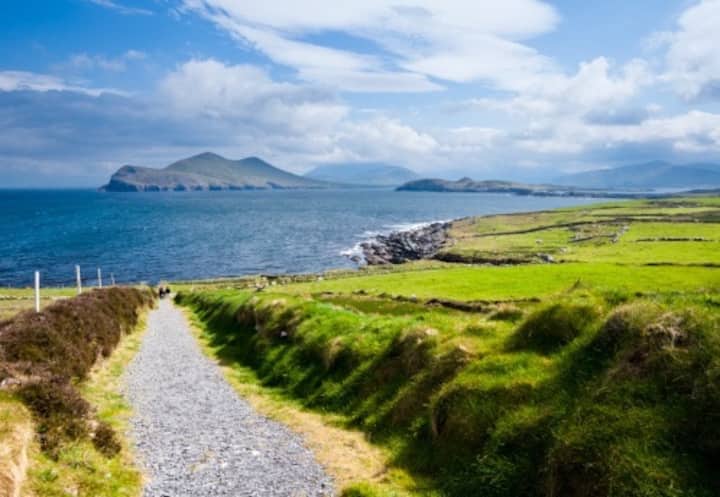 St Macadaws WellHoly well · 590 yd
 St Macadaws Church (in ruins)Church · 680 yd
 Triskbeg MountainMountain / peak · 1095 yd
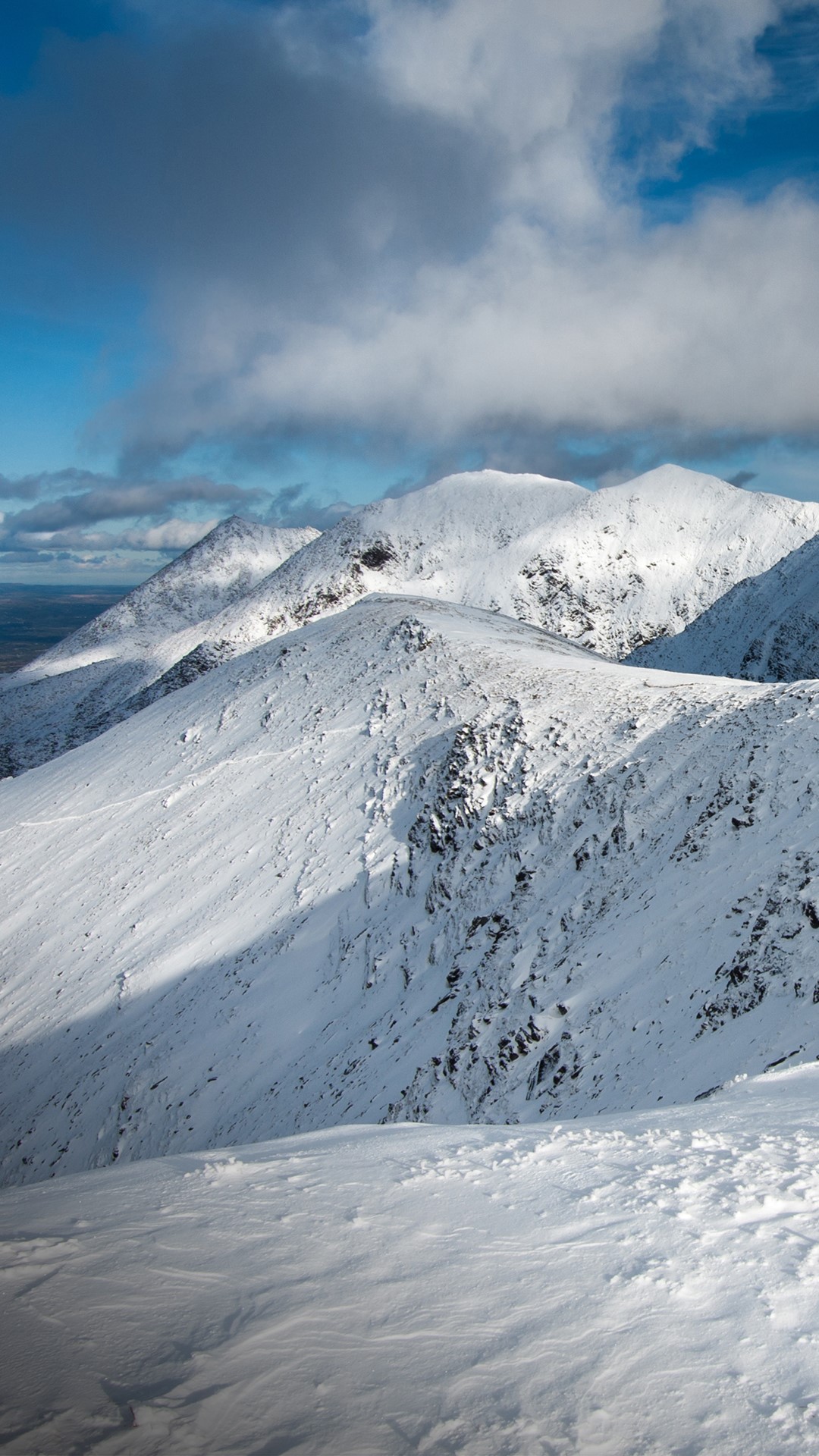 Triskmore MountainMountain / peak · 1183 yd
 Kerry Head Signal TowerRuins · 1.5 mi
 Our Lady's Holy WellSpring · 3.4 mi
 Site of Ballingarry CastleCastle, unclassified · 4.2 mi
 Castle Shannon (in ruins)Castle, unclassified · 5.0 mi
 Banna StrandBeach / strand · 5.4 mi
 Inshaboy PointHeadland · 5.6 mi
 Tralee BayBay · 6.0 mi
Other information
Photo: Credit not shown in the picture search · Rights wording not checked; contact us if this picture should be removed