What is recorded here
Situated on the W side of a low rise, in gently undulating pasture. Monument described in 1988 as a small limestone slab (H 1.6m; L 0.8m; T 0.3m) which is irregular in elevation and tapers to a roughly rounded top. Parts of the stone appear to have broken away toward the top on one side. The stone is in a slight depression.
Compiled by Alison McQueen, Vera Rahilly and Caimin O’Brien.
Date of upload: 05 September 2019
Likely dating to the Neolithic or Bronze Age, this standing stone may have functioned as a territorial marker, ceremonial focus, or astronomical alignment point. No specific folklore or inscriptions are recorded for the site.
The monument record does not grant public access. Check the route and ask the landowner before entering private land.
- What survives
- Recorded monument
Places near here
 Taghboyne Church in ruinsChurch · 413 yd
 Font (present location) in TogherstownFont (present location) · 884 yd
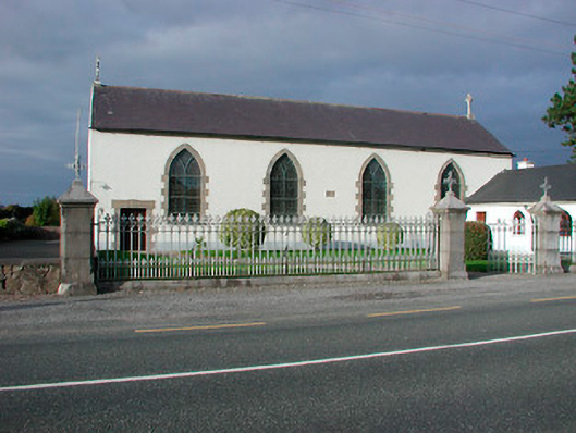 Catholic Church of the Assumptionchurch/chapel · 897 yd
 Dotted outlineFairy fort / earthen ringfort · 1179 yd
 CastleCastle, unclassified · 1200 yd
 Site of CastleCastle, unclassified · 1553 yd
 Hill of UisneachMountain / peak · 1.4 mi
 European ashEuropean ash · 2.1 mi
 Ancient Ring FortWood · 2.1 mi
 KnockastiaMountain / peak · 4.9 mi
 Abbeyshrule AbbeyRuins · 8.6 mi
 Guest ServicesVisitor information · 9.0 mi