What is recorded here
Standing stone in Slieveowen stood alone in Parkeenagallaun until removal near 1977. It faced southwest across pasture, catching late light and dropping shadows that may have marked seasons, work or memory. Its absence is a wound in the landscape, but the field still remembers the shape it held.
Not shown on 1842 OS 6-inch map. Shown on 1904 OS 6-inch map as single stone in field named 'Parkeenagallaun'. In pasture, on SW-facing slope. According to local information, removed c. 1977.
The above description is derived from the published 'Archaeological Inventory of County Cork. Volume 3: Mid Cork' (Dublin: Stationery Office, 1997). In certain instances the entries have been revised and updated in the light of recent research.
Date of upload/revision: 14 January 2009
The monument record does not grant public access. Check the route and ask the landowner before entering private land.
- What survives
- Recorded monument
Places near here
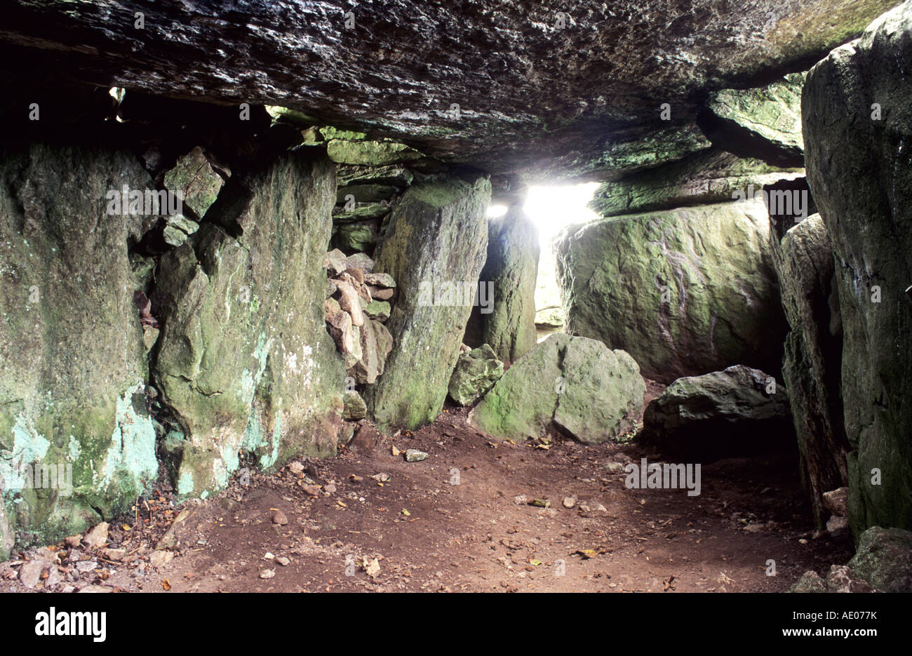 Man-made underground passage in SlieveowenMan-made underground passage · 308 yd
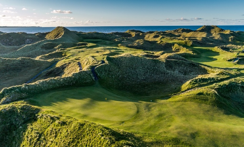 Mound in SlieveowenMound · 704 yd
 Carrigboy Castlehouse · 2.0 mi
 monumentmonument · 2.0 mi
 Kilmichael Ambush SiteMonument · 2.3 mi
 Kilmichael Ambushambush · 2.3 mi
 OCrowleys Castle (in Ruins)Castle, tower house · 2.7 mi
 Castle RockNamed rock · 3.1 mi
 Dromcarra Castle (in Ruins)Castle, tower house · 3.9 mi
 Green HillMountain / peak · 4.3 mi
 Summerhouse WoodForest · 4.8 mi
 Kilmurry WoodsPicnic place · 5.6 mi