What is recorded here
Standing stone in Skeaf East stands twelve feet tall on a south-west facing slope, its rectangular body aligned west-northwest to east-southeast. It has watched the pasture for centuries, perhaps marking a boundary, a burial or a meeting place for people whose names vanished before writing reached Cork. The stone does not need explanation to be powerful. It is still upright while empires and kingdoms collapsed, still catching light on the same edge, still refusing to fall.
In pasture on SW-facing slope. Rectangular stone aligned WNW-ESE (H 1.25m; 0.3m x 0.15m).
The above description is derived from the published 'Archaeological Inventory of County Cork. Volume 1: West Cork' (Dublin: Stationery Office, 1992). In certain instances the entries have been revised and updated in the light of recent research.
Date of upload/revision: 14 January 2009
The monument record does not grant public access. Check the route and ask the landowner before entering private land.
- What survives
- Recorded monument
Places near here
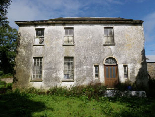 Skeaf Househouse · 138 yd
 IndicatedEnclosure · 809 yd
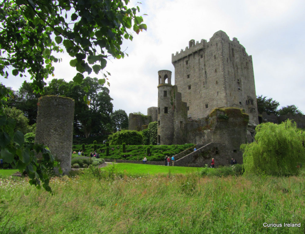 Man-made underground passage in BurraneMan-made underground passage · 844 yd
 farmyard complexfarmyard complex · 1277 yd
 Burrane Castle (Site of)Castle, unclassified · 1437 yd
 Argideen Valley trailVisitor information · 1.1 mi
 Johnny Sheila MurphyMemorial · 1.1 mi
 Argideen Loop WalksVisitor information · 1.5 mi
 Graveyard in KilmalodaGraveyard · 2.0 mi
 English hollyEnglish holly · 2.0 mi
 Monteen Castle (in Ruins)Castle, tower house · 2.1 mi
 Michael Collins CentreMuseum · 3.1 mi