What is recorded here
Shandrum Beg holds a fallen witness on a Cork ridge, its eastern edge still proud while the western end drowns in soil. The slab may have stood before gravity or forgetting took it, pointing toward Bantry Bay or marking a line now lost. Twenty-eight metres further, a stone circle waits like a jury, suggesting the landscape still remembers the shape of human attention.
On a level pasture area, on an E-W ridge with a view NW to Bantry Bay. A stone slab (L 2.6m; Wth 0.75m; T 0.3m) lies E-W on the surface of the ground and slopes downwards towards its narrowing W end, which is embedded and partly hidden in the soil. Its E end is raised 0.2m above ground level. This may have been a standing stone. There is a multiple-stone circle (CO105-029001-) c. 280m to the NE.
The above description is derived from 'The Archaeological Inventory of County Cork. Volume 5' (Dublin: Stationery Office, 2009).
Date of upload: 22 December 2009
Probably dating to the Bronze Age, this standing stone may have had ceremonial or territorial significance. Its orientation and location suggest a possible alignment with landscape features or celestial events, though specific folklore or use remains unrecorded.
The monument record does not grant public access. Check the route and ask the landowner before entering private land.
- What survives
- Recorded monument
Places near here
 St Bartholomews Well (covered)Holy well · 472 yd
 CairnCairn, unclassified · 504 yd
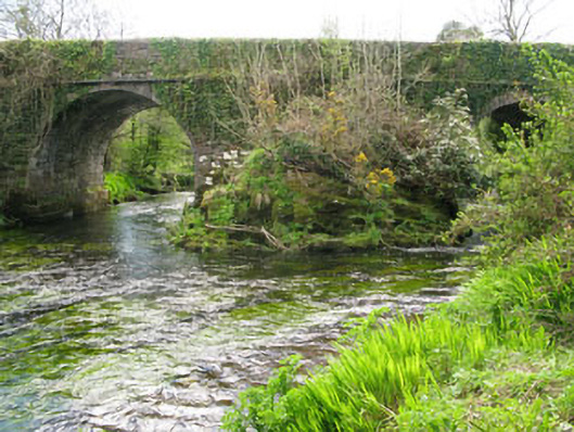 Lisheen Bridgebridge · 1.0 mi
 Church in InchicloghChurch · 1.0 mi
 Castle (in Ruins)House, fortified house · 1.9 mi
 Kealkill stone circleVisitor information · 2.0 mi
 Ballylickey BayBay · 2.1 mi
 Snave StrandBeach / strand · 2.3 mi
 Carriganass CastleCastle · 2.4 mi
 Daly's LoopWalking route · 2.4 mi
 Eagle PointHeadland · 2.6 mi
 Bulls PocketMountain / peak · 2.6 mi