What is recorded here
Standing stone (No. 5) to N of stone circle described by O'Hare (1996, 11-12) as follows; 'The outlier, stone 5, stands c. 2m southwest of stone 3. It measures 1.25 in height, 96cm in breadth and c. 59cm in width. The stone, which is rectangular in section, is aligned east west. A number of other stones lie scattered in and around the site and probably represent field clearance'.
Compiled by: Caimin O'Brien
Date of upload: 21 April 2022
Probably dates to the Neolithic or Bronze Age, based on its association with a stone circle. Its specific meaning or use is unclear, but such stones often had ritual or ceremonial significance.
The monument record does not grant public access. Check the route and ask the landowner before entering private land.
- What survives
- Recorded monument
Places near here
 SlievebrickanMountain / peak · 192 yd
 Man-made underground passage in GortacappulMan-made underground passage · 1278 yd
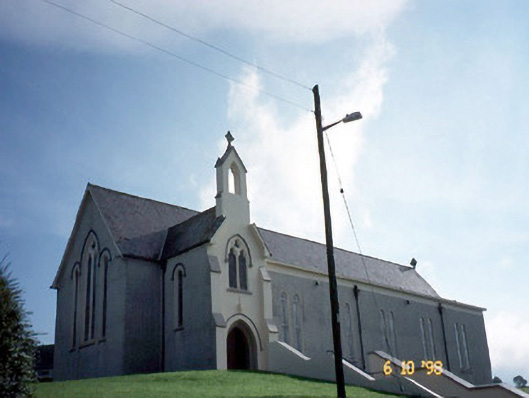 Catholic Church of Our Lady of Lourdeschurch/chapel · 1586 yd
 Enclosure in ScartaglinEnclosure · 1656 yd
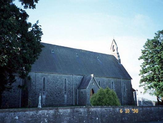 Catholic Church of the Immaculate Conceptionchurch/chapel · 2.1 mi
 Site of Ardnagragh CastleCastle, unclassified · 2.3 mi
 Ardnacreach CastleCastle · 2.3 mi
 Barna BogForest · 3.9 mi
 Mount EagleMountain / peak · 4.3 mi
 Crag CaveCave · 4.8 mi
 Nohaval WoodWood · 9.9 mi
 Famine MemorialMemorial · 9.9 mi