What is recorded here
Standing stone in Rusheen (muskerry East By.) stands 1.15 metres tall in an open Cork field, its flat top sloping slightly toward the south-east. Another stone waits 257 metres away across the far hedge, suggesting two markers rather than a lonely relic. People may have set them to judge distance, claim boundary or remember an event now lost. The stones still perform that role every time a person walks between them and measures the land.
In tillage in a gently undulating field, surrounded by rolling countryside to the N, E and S. This standing stone (0.7m x 0.35m; H 1.15m) is roughly rectangular in section and is orientated ENE-WSW. The stone had a flat top which slopes slightly down to the SSE. Stones are scattered around the base of the standing stone, though no packing-stones were noted. Another standing stone (CO060-205----) is visible in an adjacent field, c. 257m to the NE.
The above description is derived from 'The Archaeological Inventory of County Cork. Volume 5' (Dublin: Stationery Office, 2009).
Date of upload: 22 December 2009
The monument record does not grant public access. Check the route and ask the landowner before entering private land.
- What survives
- Recorded monument
Places near here
 CairnCairn, radial-stone cairn · 354 yd
 Black WoodWood · 391 yd
 IndicatedChurch · 415 yd
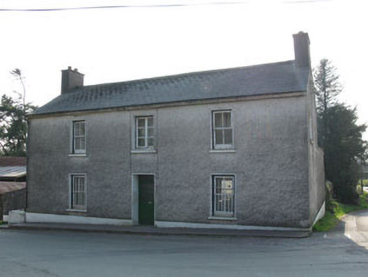 garda station/constabulary barracksgarda station/constabulary barracks · 468 yd
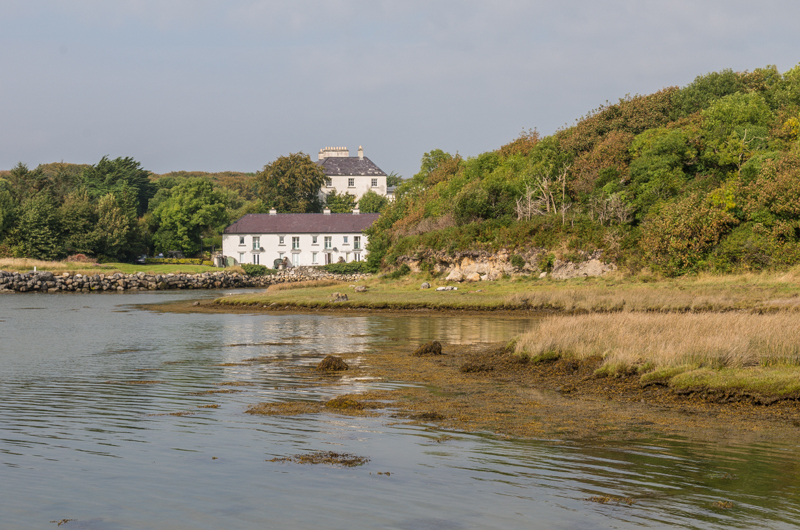 Enclosure in Rusheen (muskerry East By.)Enclosure · 479 yd
 Ummera WoodWood · 2.0 mi
 BurrenMountain / peak · 2.0 mi
 Clonavrick CliffCliff · 2.6 mi
 Mullinhassig WaterfallWaterfall · 2.6 mi
 Carrigadrohid Castle InfoVisitor information · 2.7 mi
 Carrigadrohid CastleHeritage attraction · 2.8 mi
 Carrigadrohid Castle (in Ruins)Castle, tower house · 2.8 mi