What is recorded here
On a slight ridge in pastureland. When inspected in February 1983 this standing stone consisted of a badly eroded limestone slab (H 2m; Wth 0.66m; T 0.29m) that was rectangular in plan and aligned E-W. A number of solution holes pierced it. Small stones formed a revetment (Wth 0.2m) around its base. Not visible on current OSi aerial imagery, which indicates that field boundaries in the area have subsequently been cleared. (McCaffrey 1952, 250, no. 132)
Compiled by: Galway Archaeological Survey, UCG
Date of upload: 18 December 2019
Probably dating to the Neolithic or Bronze Age, this standing stone may have had ritual or territorial significance, possibly aligned with solar or ceremonial practices given its east-west orientation. No specific folklore or inscriptions are recorded for the site.
The monument record does not grant public access. Check the route and ask the landowner before entering private land.
- What survives
- Recorded monument
Places near here
 Windmill StumpWindmill · 381 yd
 CaveMan-made underground passage · 794 yd
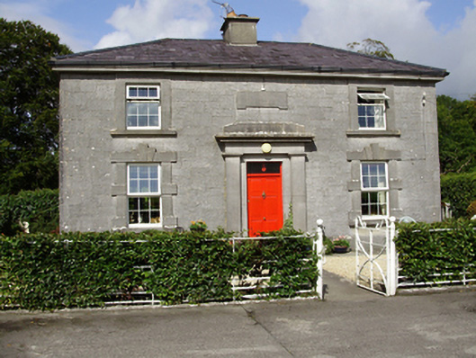 Castle Taylorsteward's house · 879 yd
 Cregaclarefarmyard complex · 1084 yd
 Castle (in ruins)Castle, Anglo-Norman masonry castle · 1699 yd
 Cloghroak Castle (in ruins)Castle, tower house · 1.5 mi
 Drumharsna CastleHeritage attraction · 2.8 mi
 HawthornHawthorn · 3.7 mi
 European ashEuropean ash · 3.8 mi
 Drumacoo Monastic SiteHeritage attraction · 5.1 mi
 Mulroney's IslandIslet · 6.5 mi
 Kilmacduagh Monastic SiteVisitor information · 9.2 mi