What is recorded here
That is the only available description of the requested standing stone.
In rough hill pasture, in a level area of cutaway bog. This standing stone (0.95m x 0.12m; H 1.25m) is rectangular in plan and is orientated NNE-SSW. The stone leans to the SE and the upper half of it narrows to a rounded top.
The above description is derived from 'The Archaeological Inventory of County Cork. Volume 5' (Dublin: Stationery Office, 2009).
Date of upload: 22 December 2009
Probably dating to the Neolithic or Bronze Age, this standing stone may have had a ritual or territorial function. Its orientation and location in a former bog suggest possible links to early land use or ceremonial activity.
The monument record does not grant public access. Check the route and ask the landowner before entering private land.
- What survives
- Recorded monument
Places near here
 Hut site in CloontreemHut site · 346 yd
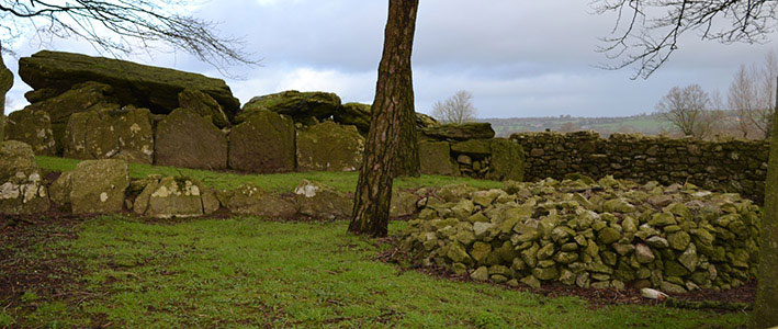 Wedge tomb in CloontreemWedge tomb · 351 yd
 Beara WayWalking route · 1266 yd
 Eagle HillMountain / peak · 1438 yd
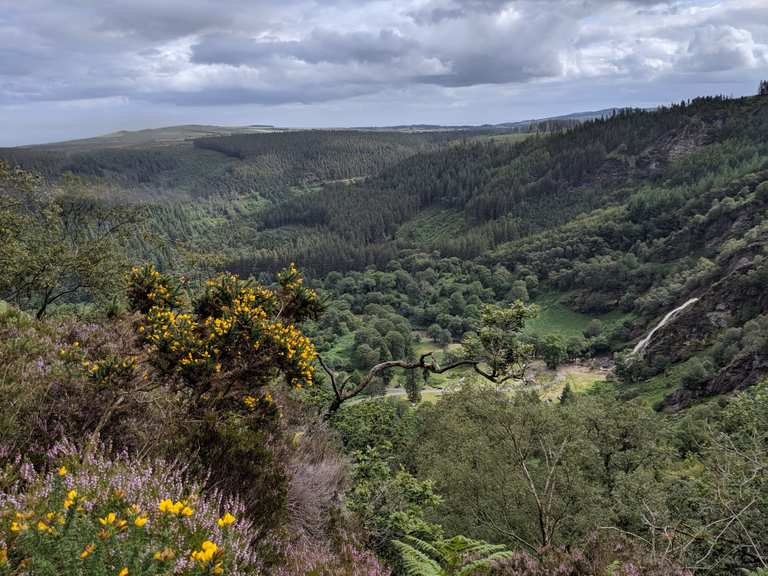 MaulinMountain / peak · 1.5 mi
 Aghakista BrBridge · 1.6 mi
 Tuck Mill (Disused)Mill, fulling · 1.6 mi
 Minane IslandIslet · 2.0 mi
 Berehaven Battalion MemorialMemorial · 2.0 mi
 Dinish IslandIslet · 2.1 mi
 Sarah Walker GalleryGallery · 2.2 mi
 Burial ground in DerrycreeveenBurial ground · 2.8 mi