What is recorded here
Standing stone described in 1943 as following; 'This is a large low boulder of conglomerate or breccia. It is 4' [1.2m] high and the base measures 6' [1.8m] long by 2' 6" [0.76m] thick' (O'Kelly 1942-3, 177). The monument is not visible today on Digital Globe aerial photographs.
Compiled by: Caimin O'Brien
Date of upload: 25 February 2020
Likely dating to the Neolithic or Bronze Age, this standing stone may have functioned as a territorial marker, ceremonial focus, or astronomical alignment point. No specific folklore or detailed use is recorded in available sources.
The monument record does not grant public access. Check the route and ask the landowner before entering private land.
- What survives
- Recorded monument
Places near here
 Villiers WellSpring · 159 yd
 BarrowBarrow, ring-barrow · 811 yd
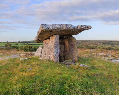 Megalithic structure in BadgerfortMegalithic structure · 1144 yd
 (Site of) Garryellen CastleCastle, unclassified · 1153 yd
 Dotted outlineBawn · 1183 yd
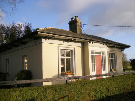 Kilpeacon Housegate lodge · 1633 yd
 Saint Beacon's Church (Kilpeacon)church/chapel · 1676 yd
 Carnane RockNamed rock · 1.7 mi
 Monasteranenagh AbbeyHeritage attraction · 3.7 mi
 Biodiversity in the Maigue CatchmentVisitor information · 4.7 mi
 European ashEuropean ash · 4.8 mi
 Dysert AenghusaHeritage attraction · 5.6 mi