What is recorded here
One chamber holds a collapsed stone that once stood two and a half metres high in rough rocky land south of the Gweedore estuary. Its dimensions are exact, its history absent. A person may have set it there to mark a boundary, a burial or a warning. The stone still occupies the field, diminished but unchanged in purpose.
A collapsed stone formerly standing. It was c. 2.5m high, 1m wide and 0.24m thick. It is situated in rough rocky land S of the estuary of the Gweedore river.
The above description was derived from the 'Archaeological Survey of County Donegal. A description of the field antiquities of the County from the Mesolithic Period to the 17th century.' Compiled by: Brian Lacey with Eamon Cody, Claire Cotter, Judy Cuppage, Noel Dunne, Vincent Hurley, Celie O'Rahilly, Paul Walsh and Seán Ó Nualláin (Lifford: Donegal County Council, 1983). In certain instances the entries have been revised and updated.
Date of upload: 22 September 2008
Dated to the Late Neolithic or Bronze Age, this standing stone may have had ceremonial or territorial significance. Local folklore sometimes associates such stones with ancient druidic practices or as markers for burial sites, though specific traditions for this stone are not recorded.
The monument record does not grant public access. Check the route and ask the landowner before entering private land.
- What survives
- Recorded monument
Places near here
 Holy well in Rann Na FeirsteHoly well · 204 yd
 Braade StrandBeach / strand · 1342 yd
 Stone Circle near Donegal AirportPublicly named stone circle · 1.1 mi
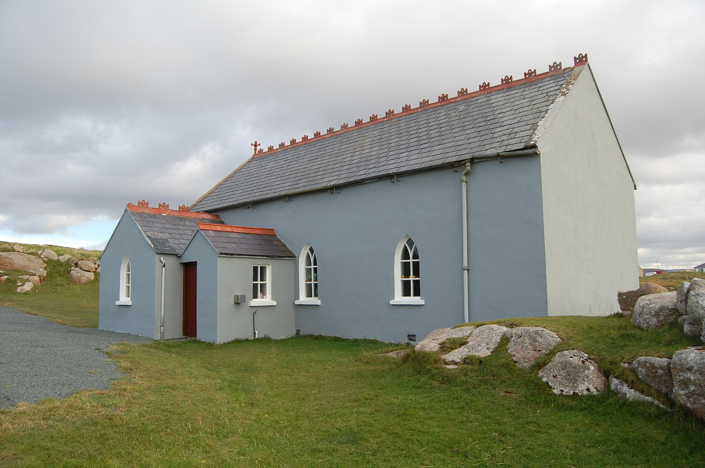 Saint Andrew's Church (Templecrone)watch tower · 1.1 mi
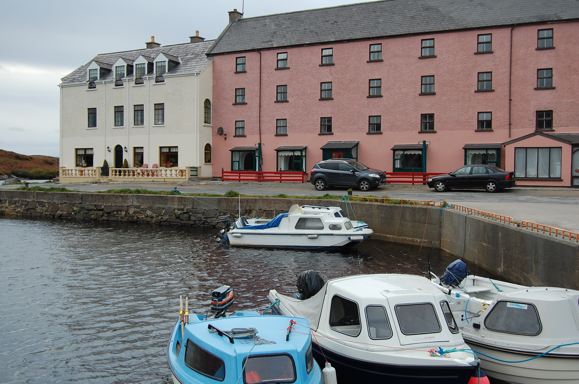 quay/wharfquay/wharf · 1.1 mi
 CarrickfinnOfficial bathing water · 1.4 mi
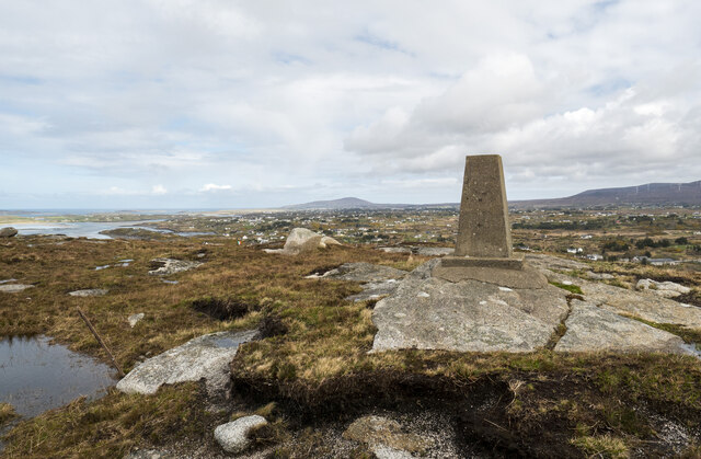 Annagary HillMountain / peak · 1.8 mi
 Trá Dún MórBeach / strand · 1.9 mi
 An tOileán CarrachIslet · 2.5 mi
 Rinnalea Point / Na Reanna LiathaHeadland · 3.2 mi
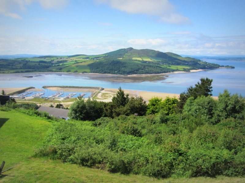 Allagh IslandIslet · 3.5 mi
 Main WallCliff · 4.3 mi