What is recorded here
In the NE corner of the graveyard (DG025-029006-) of Raymunterdoney Old Church (DG025-029003-) there is a standing stone (H 2.1m; L 1.17m wide at base; T 0.14m thick) with its long axis aligned N-S. The site is located in low-lying, wet land, close to the sea. It was believed by O'Donovan to be the site of the early ecclesiastical settlement, Rath Finan (O'Flanagan 1927, 39).
The above description was derived from the 'Archaeological Survey of County Donegal. A description of the field antiquities of the County from the Mesolithic Period to the 17th century.' Compiled by: Brian Lacey with Eamon Cody, Claire Cotter, Judy Cuppage, Noel Dunne, Vincent Hurley, Celie O'Rahilly, Paul Walsh and Seán Ó Nualláin (Lifford: Donegal County Council, 1983). In certain instances the entries have been revised and updated.
Date of upload: 22 September 2008
This standing stone likely dates to the early medieval period and may have originally served as a memorial or waymarker, possibly associated with the nearby church site. Its alignment and placement within a graveyard suggest a connection to local Christian traditions, though it may incorporate or repurpose an earlier prehistoric monument.
The monument record does not grant public access. Check the route and ask the landowner before entering private land.
- What survives
- Recorded monument
Places near here
 Stone CrossCross, High cross · 22 yd
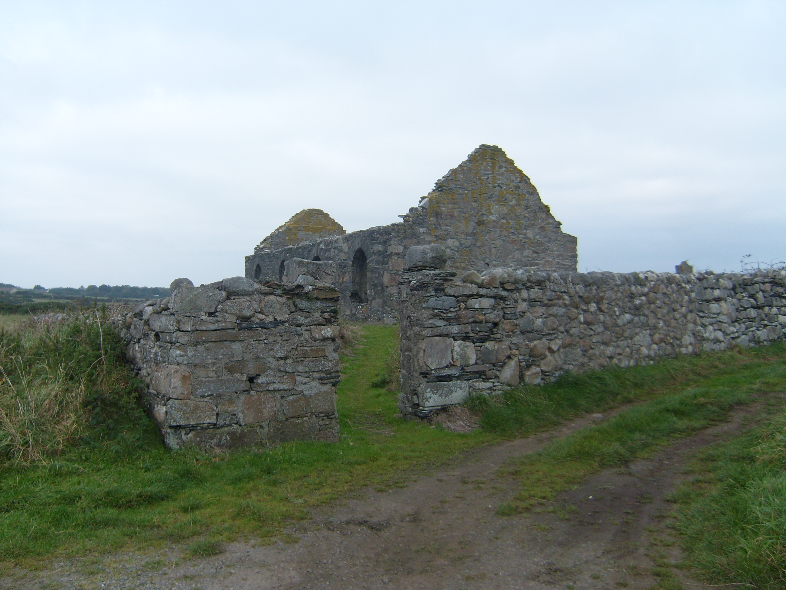 graveyard/cemeterygraveyard/cemetery · 22 yd
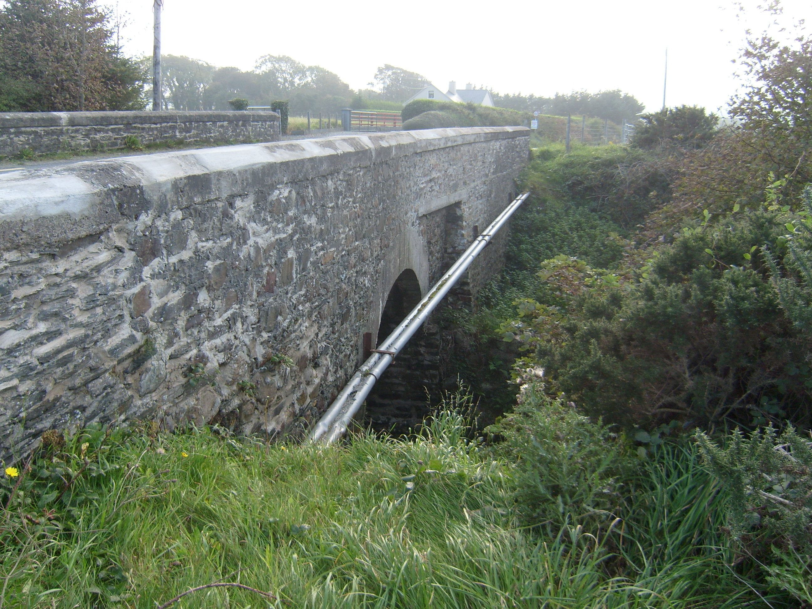 Ray Bridgebridge · 677 yd
 Dermot and Granias BedPortal tomb · 1160 yd
 Wych ElmWych Elm · 1612 yd
 Monterey CypressMonterey Cypress · 1710 yd
 DrumnatinnyOfficial bathing water · 1.3 mi
 Trá Dhroim na TineBeach / strand · 1.3 mi
 Castle Bawne (in Ruins)Bawn · 2.1 mi
 Mc Swyne's GunHeritage attraction · 3.5 mi
 Cliffs near Pollaguill BayPublicly named cliff or headland · 3.6 mi
 Boys IslandIslet · 3.6 mi