What is recorded here
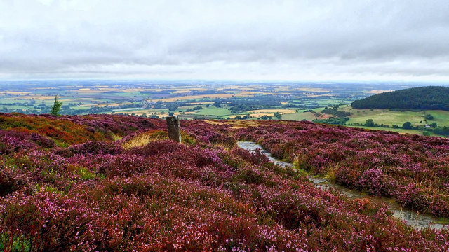
Condon recorded an eighty-inch stone on a sun-warmed Cork slope in 1916, but local memory claims it disappeared around 1973. Whether it fell, was moved or was never truly separate from the field, the pasture keeps the shape of what left it.
In pasture on SE-facing slope. Stone (H 80in, Wth 27in, T 8in) in this field recorded by Condon (1916, 73). Removed c. 1973, according to local information.
The above description is derived from the published 'Archaeological Inventory of County Cork. Volume 2: East and South Cork' (Dublin: Stationery Office, 1994). In certain instances the entries have been revised and updated in the light of recent research.
Date of upload/revision: 14 January 2009
The monument record does not grant public access. Check the route and ask the landowner before entering private land.
- What survives
- Recorded monument
Places near here
 Castle (Site of)Castle, unclassified · 404 yd
 farm housefarm house · 1284 yd
 Burnt mound in KilleendanielBurnt mound · 1418 yd
 Kilcully Church (in Ruins)Church · 1.3 mi
 Old Cemetery KilcullyMemorial · 1.3 mi
 Murphy's RockViewpoint · 2.0 mi
 Grave YardGraveyard · 2.2 mi
 Clogheenmilcon Nature Reserve Killeens EndPicnic place · 2.3 mi
 Lavitts QuayMemorial · 3.9 mi
 Seefin East TopMountain / peak · 18 mi
 Mashanaglass Castle (in Ruins)Castle, tower house · 19 mi
 Ummera WoodWood · 19 mi