What is recorded here
The following description is derived from the published 'Archaeological Inventory of County Marked only on the 1940 ed. of the OS-6 inch map where it is described as a standing stone, and it is situated on a gentle SW-facing slope. It was described in 1940 as having a rectangular cross-section (dims c. 0.65m x c. 0.6m; H 1.4-1.6m) (OSFM). It does not survive.
The above description is derived from the 'Archaeological Inventory of County Wexford' (Dublin: Stationery Office, 1996). In certain instances the entries have been revised and updated in the light of recent research.
Compiled by: Michael Moore
Date of upload/revision: 29 January, 2013
The monument record does not grant public access. Check the route and ask the landowner before entering private land.
- What survives
- Recorded monument
Places near here
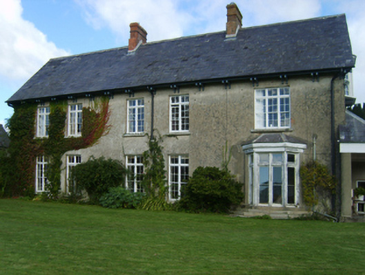 Alderton Housefarm house · 553 yd
 kilnkiln · 711 yd
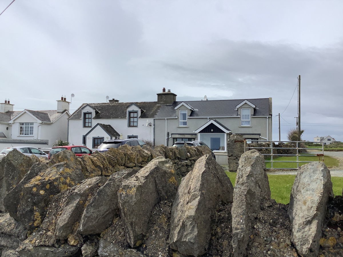 Man-made underground passage in FisherstownMan-made underground passage · 858 yd
 CastleCastle, tower house · 1221 yd
 Castle (in ruins)Castle, tower house · 1468 yd
 IndicatedFairy fort / earthen ringfort · 1.1 mi
 Goat IslandIsland · 1.5 mi
 Silver WattleSilver Wattle · 1.7 mi
 Bamboo CollectionVisitor information · 1.7 mi
 John F. Kennedy Arboretum MuseumMuseum · 1.8 mi
 The John F. Kennedy ArboretumForest · 1.8 mi
 Arboretum MapVisitor information · 1.8 mi