What is recorded here
Pluck is a rough square pillar, one and three quarters metres tall, leaning slightly on low ground beside the Isle Burn. It is a National Monument, number 453, and has watched the river flood and retreat for longer than any living memory. People may have set it there to mark a boundary, honour a dead person or simply stop a cart leaving the track. The stone does not explain itself, but it still stands while smaller things around it have worn away.
This standing stone (H 1.75m; L 1.7m ; T 0.95m) is roughly square-shaped, with a rectangular cross-section; its long axis is aligned NNE-SSW. Situated on low-lying level ground close to the Isle Burn river. It is a National Monument in state guardianship (No. 453).
The above description was derived from the 'Archaeological Survey of County Donegal. A description of the field antiquities of the County from the Mesolithic Period to the 17th century.' Compiled by: Brian Lacey with Eamon Cody, Claire Cotter, Judy Cuppage, Noel Dunne, Vincent Hurley, Celie O'Rahilly, Paul Walsh and Seán Ó Nualláin (Lifford: Donegal County Council, 1983). In certain instances the entries have been revised and updated.
Date of upload: 22 September 2008
The monument record does not grant public access. Check the route and ask the landowner before entering private land.
- What survives
- Recorded monument
Places near here
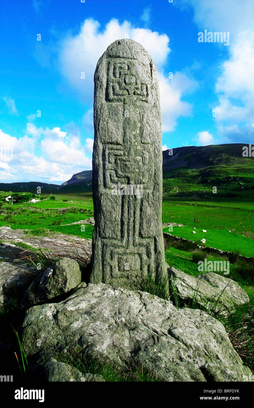 Pluck Standing StoneArchaeological place · 2 yd
 Connaghan's Bridgebridge · 179 yd
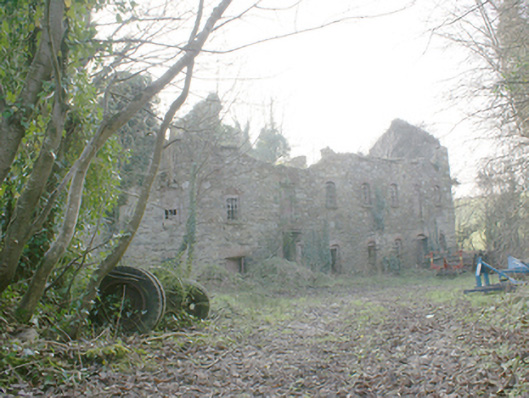 Pluck Millsmill (water) · 477 yd
 Giants BedFortification · 1429 yd
 CastleCastle, unclassified · 1.4 mi
 Dry Arch MonumentHeritage attraction · 2.4 mi
 Lurgybrack Open FarmHeritage attraction · 2.7 mi
 Mongorry HillMountain / peak · 3.3 mi
 European YewEuropean Yew · 3.3 mi
 RowanRowan · 3.3 mi
 Bawn in LetterkennyBawn · 4.1 mi
 Battle of Scarrifholisbattle · 6.5 mi