What is recorded here
In pasture 40m N of a local road that marks the townland boundary with Barrysfarm. Not depicted on OSi historic maps. Identified from an estate map of Oldtown, by Brian Hodkinson in 2008, as a possible standing stone. Annotated 'Rubbing Stone' on 1843 map of 'Oldtown Ryan on the estate of The Right Hon[oura]ble the Earl of Kenmare' (PRONI D4151/S/3; https://www.iar.ie/Archive.shtml?GB 0255 PRONI/D4151). Outline of stone is visible on OSi orthophoto taken between 2005-12 and on Google Earth orthoimage dated 20/09/2020.
See attached Google Earth orthoimage with details provided by Brian Hodkinson
Compiled by: Martin Fitzpatrick
Date of upload: 22 April 2021
The monument record does not grant public access. Check the route and ask the landowner before entering private land.
- What survives
- Recorded monument
Places near here
 BarrowBarrow, unclassified · 503 yd
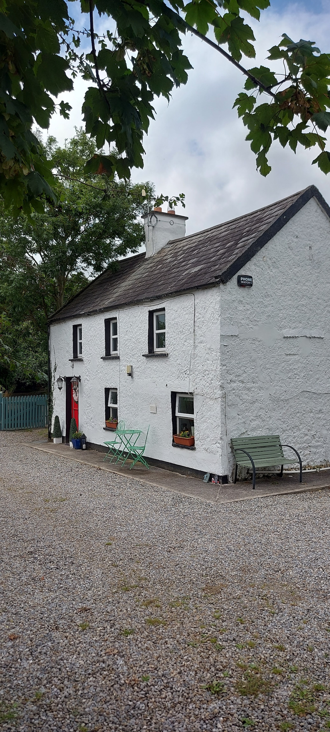 Enclosure in CastlefarmEnclosure · 530 yd
 Ahnageeragh Bridgebridge · 1179 yd
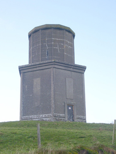 water towerwater tower · 1612 yd
 CastleCastle, motte · 1.0 mi
 CashlanCastle, unclassified · 1.5 mi
 Flat cemetery in Knockainy WestFlat cemetery · 2.0 mi
 Kilteely HillMountain / peak · 2.6 mi
 St. Patrick's WellSpring · 3.0 mi
 St Patrick's WellSpring · 3.7 mi
 Ballinvreena LoopVisitor information · 6.4 mi
 SlievereaghMountain / peak · 7.2 mi