What is recorded here
In a hollow beside Ogulla well (RO022-106002-). A stream flows SW from the pond associated with the well, widens into a second pond where there is a standing stone (dims 0.6m NW-SE; 0.25-0.5m NE-SW; H 1.04m).
Compiled by: Michael Moore
Date of upload: 24 August 2010
Probably dates to the Late Neolithic or Bronze Age, given its association with a well and water features, which were often considered sacred in prehistoric times. It may have had a ritual or commemorative function, possibly linked to local water spirits or ancestor veneration.
The monument record does not grant public access. Check the route and ask the landowner before entering private land.
- What survives
- Recorded monument
Places near here
 ToberagullaSpring · 8 yd
 European ashEuropean ash · 12 yd
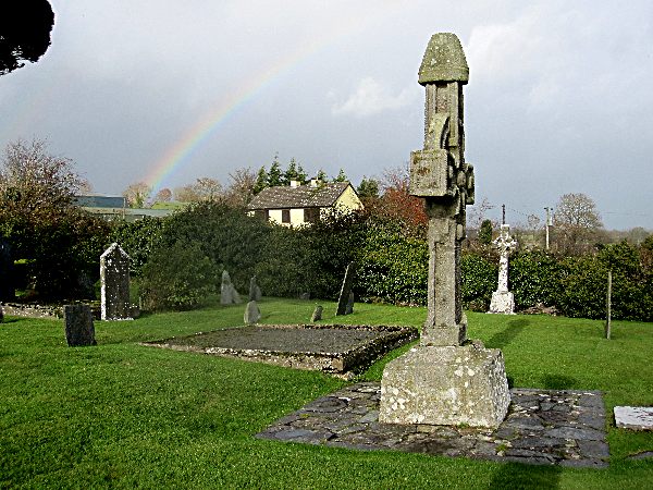 CrossCross, High cross · 14 yd
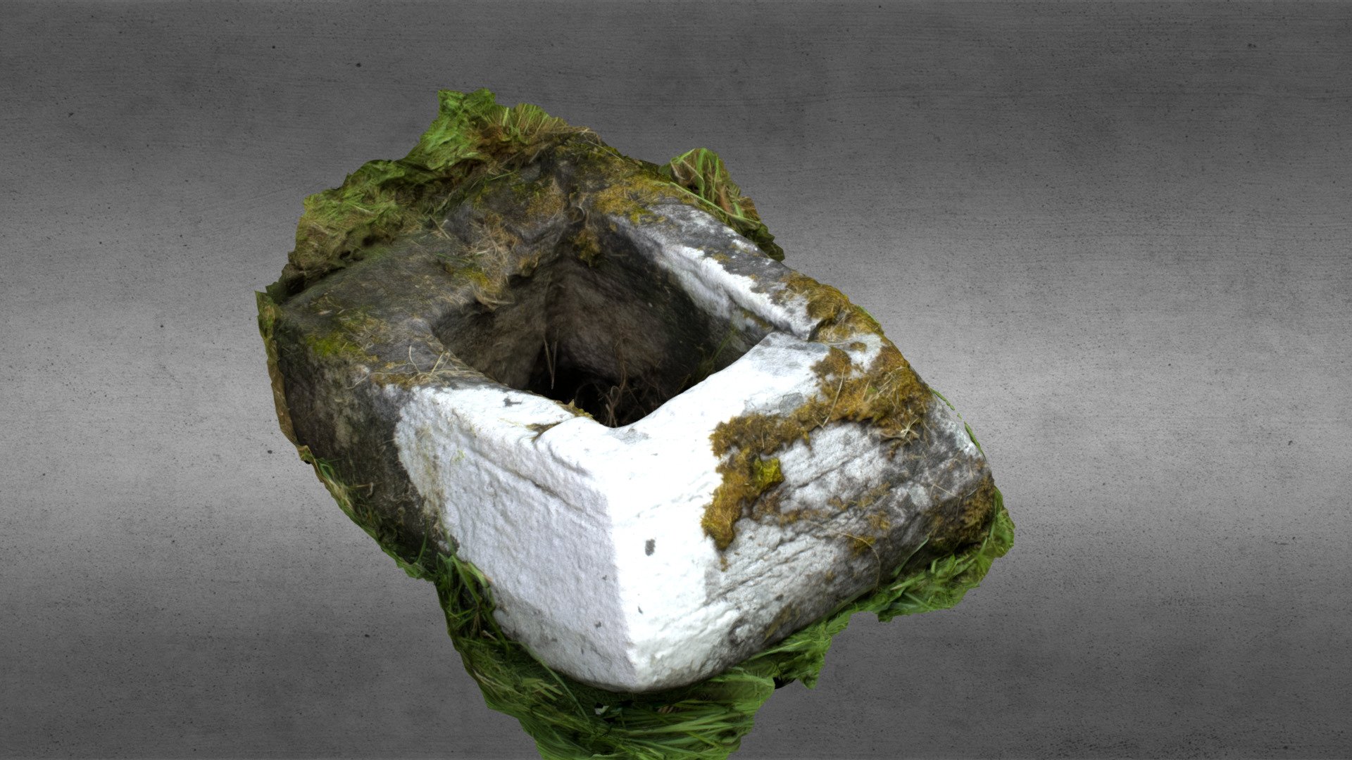 Church in OgullaChurch · 81 yd
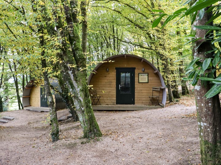 Enclosure in Ballybeg (roscommon By., Ogulla Ed)Enclosure · 281 yd
 RoadRoad, road/trackway · 610 yd
 Cruachan Aí Heritage CentreMuseum · 1622 yd
 CastleCastle, unclassified · 1645 yd
 CastlerubyCastle, unclassified · 1.8 mi
 War of Independence Commemorative Military MemorialMemorial · 4.9 mi
 Sweet ChestnutSweet Chestnut · 7.1 mi
 Workhouse MemorialMemorial · 8.4 mi