What is recorded here
Orientated E-W. Subrectangular cross-section (1.8m by 0.8m to 1.6m, H 3m).
The above description is derived from the published 'Archaeological Inventory of County Meath' (Dublin: Stationery Office, 1987). In certain instances the entries have been revised and updated in the light of recent research.
Date of upload/revision: 10 July 2007
Likely dating to the Neolithic period (c. 3200–2500 BCE), this standing stone may have been part of a ritual or ceremonial landscape associated with nearby passage tombs such as Newgrange. Its orientation and form suggest a symbolic or astronomical function, possibly linked to solar events.
The monument record does not grant public access. Check the route and ask the landowner before entering private land.
- What survives
- Recorded monument
Places near here
 Embanked enclosure in DowthEmbanked enclosure · 149 yd
 Boyne Currach CentreHeritage attraction · 477 yd
 IndicatedRitual site, pond · 811 yd
 Brú na Bóinne Visitor Centreheritage centre/interpretative centre · 938 yd
 NewgrangeHeritage attraction · 964 yd
 Brú na Bóinne Visitors CentreVisitor information · 967 yd
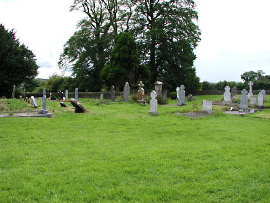 Netterville Manorgraveyard/cemetery · 1704 yd
 Dowth CastleCastle, tower house · 1.0 mi
 Knowth Fox CovertWood · 1.4 mi
 Glenmore ForestWood · 1.6 mi
 Proudfootstown CastleCastle, unclassified · 2.0 mi
 Grove IslandIslet · 3.0 mi