What is recorded here
On a broad WNW-ESE ridge. This a limestone upright (dims 0.5m x 0.45m; H 2.15m), tapering slightly towards the top (dims 0.4m x 0.3m), and roughly aligned NW-SE. (Siggins 1986a)
See the attached image taken from the S.
Compiled by: Michael Moore
Date of upload: 24 August 2010
The monument record does not grant public access. Check the route and ask the landowner before entering private land.
- What survives
- Recorded monument
Places near here
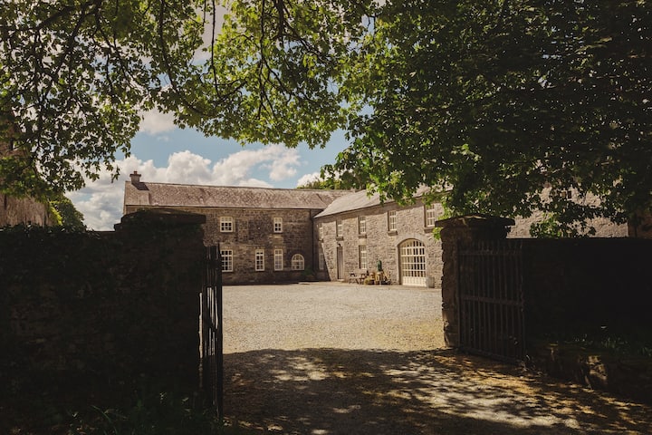 Embanked enclosureFairy fort / earthen ringfort · 1582 yd
 Fortview Househouse · 1686 yd
 IndicatedFairy fort / earthen ringfort · 1.0 mi
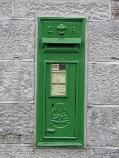 post boxpost box · 1.9 mi
 Roscommon CastleCastle · 2.5 mi
 Leitrim CastleCastle, unclassified · 4.0 mi
 Big IslandForest · 4.6 mi
 Little IslandForest · 4.6 mi
 CastleCastle, unclassified · 5.5 mi
 Sally IslandIslet · 8.0 mi
 Site of Killomaine Grave YardArchaeological place · 9.3 mi
 Mount MaryMountain / peak · 9.8 mi