
What is recorded here
From the National Monuments Service (Archaeological Survey of Ireland) record LE020-009
Places near here
Photo credits
- Maker not stated on source page, www.alamy.com
- Maker not stated on source page, uk.pinterest.com
- Maker not stated on source page, www.pinterest.com
- Andreas F. Borchert, Wikimedia Commons · CC BY-SA 4.0
- Maker not stated on source page, www.thejournal.ie
- Maker not stated on source page, letsgowiththechildren.co.uk
- Oliver Dixon, Geograph · CC BY-SA 2.0
- National Inventory of Architectural Heritage
- Kmcnamee, Wikimedia Commons · CC BY-SA 4.0
- Maker not stated on source page, irishheritagenews.ie
- Pampuco, Wikimedia Commons · CC BY-SA 4.0
- Drumkeerin GAA (official club site publisher); individual photographer not named, drumkeeringaa.com
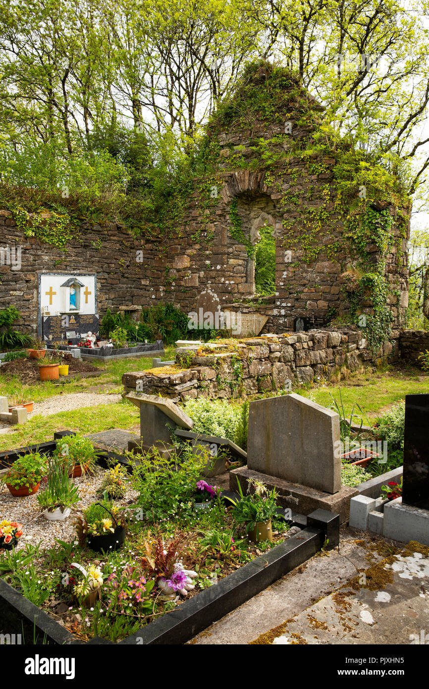 Mapped graveyardGraveyard · 1086 yd
Explorer Tom Mapped graveyard in County Leitrim claims its best friend was a famous actor who visited for lunch once. The actor…
 St. Patricks ChurchChurch · 1099 yd
Explorer Tom St. Patricks Church in Curraghs South would complain to the council about the lack of parking for pilgrims. It was…
 CastleCastle, unclassified · 1.2 mi
Explorer Tom Castle in Cornagee, County Roscommon would win a county fair by just standing still looking smug, while Myles Cavanagh…
 Lough AllenLarge freshwater lake · 1.5 mi
Explorer Tom Locals swear if you whistle at Lough Allen, a ghost will row your boat in circles until you apologise properly. It’s…
 Fairy fort / earthen ringfort in SrananooanFairy fort / earthen ringfort · 1.5 mi
Explorer Tom Fairy fort / earthen ringfort in Srananooan is perched on a slope, looking a bit poached by curious locals or sheep.…
 Fairy fort / earthen ringfort in DrummanasooanFairy fort / earthen ringfort · 2.0 mi
Explorer Tom Drumanasooan’s Fairy fort is having a rivalry with Lough Allen over who reflects the sky better, and it’s losing badly.…
 Scardan WaterfallWaterfall · 2.2 mi
Explorer Tom Scardan Waterfall is tucked into Leitrim's hills above Lough Allen, where the Miners Way passes and a small car park…
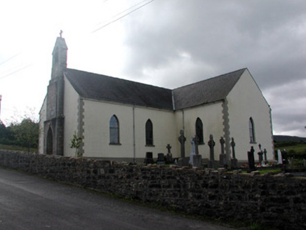 Saint Hugh's Catholic ChurchChurch/chapel · 4.1 mi
Explorer Tom Saint Hugh's Catholic Church in Drumnafinnila saw a love story go terribly wrong next door. The stained glass still…
 Ballinaglera GAAGAA ground · 4.1 mi
 Fairy fort / earthen ringfort in CartronagloghFairy fort / earthen ringfort · 4.3 mi
Explorer Tom Fairy fort / earthen ringfort in Cartronaglogh is playing the hard to get, hiding behind a rush belt like it’s shy.…
 Sliabh an IarainnMountain / peak · 4.4 mi
Explorer Tom Sliabh an Iarainn calls itself the iron mountain and has the old workings to back up the name. It rises 585 metres east…
 Drumkeerin GAAGAA ground · 4.5 mi
More archaeology and monuments in County Leitrim · All of County Leitrim

What do you know about this place?Tap to add a comment or ask a question