What is recorded here
Marked on a Longfield map dated 1825 in NLI (21. F. 43 No 10) where it is described as 'Clognegan'. It is situated on the summit of a low N-S esker ridge, but it is not visible at ground level in pasture.
Compiled by: Michael Moore
Date of upload: 24 August 2010
The monument record does not grant public access. Check the route and ask the landowner before entering private land.
- What survives
- Recorded monument
Places near here
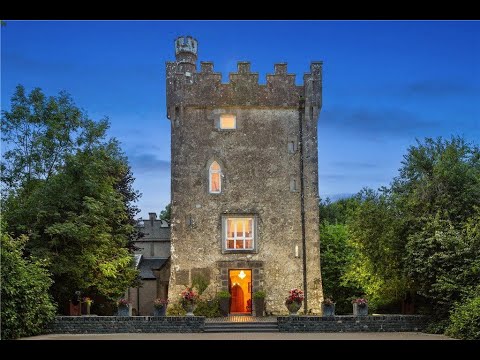 IndicatedFairy fort / earthen ringfort · 477 yd
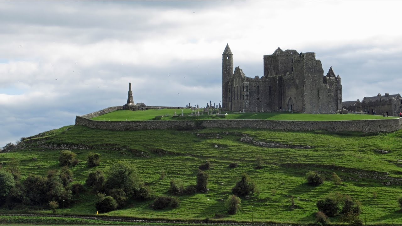 Mass-rock in KiltoomMass-rock · 628 yd
 Kiltoom ChurchChurch · 763 yd
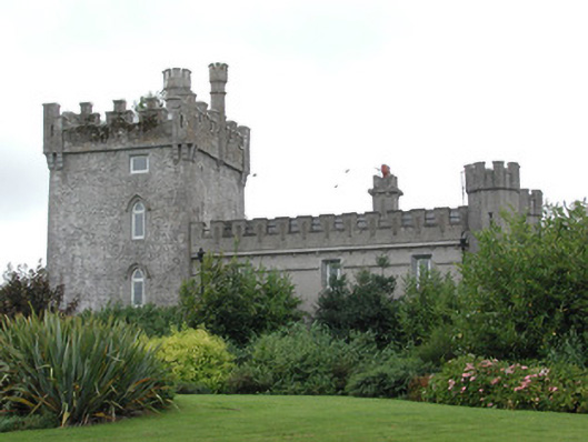 Moyvannan Castlecountry house · 1073 yd
 Carnagh BayBay · 1.5 mi
 Long IslandIslet · 1.9 mi
 Little IslandIslet · 2.0 mi
 Bally BayBay · 2.2 mi
 Curraghboy CastleCastle, unclassified · 2.5 mi
 Castle (Site of)Castle, unclassified · 4.0 mi
 RindoonWood · 4.1 mi
 St. John's WoodWood · 5.1 mi