What is recorded here
Standing stone in Moyny East stands on a knoll in County Cork, its wide base narrowing to a point aimed south. It is not a crude marker but a shaped instrument, perhaps guiding sunlight, tide or memory across the pasture. People may have read the seasons in its shadow or gathered there when the land felt uncertain. The stone still points, patient and exact, waiting for someone to notice what it shows.
In undulating pasture, on top of a knoll. This standing stone (1.6m x 0.9m; H 1.3m) is orientated NNW-SSE. The stone narrows towards the top from a wide base. The tip of the standing stone points to the S.
The above description is derived from 'The Archaeological Inventory of County Cork. Volume 5' (Dublin: Stationery Office, 2009).
Date of upload: 22 December 2009
Likely dating to the Neolithic or Bronze Age, this standing stone may have had ceremonial or territorial significance, possibly aligned with solar or seasonal markers. Local folklore sometimes associates such stones with ancient burial sites or as markers for mythical pathways.
The monument record does not grant public access. Check the route and ask the landowner before entering private land.
- What survives
- Recorded monument
Places near here
 Moyny Bridge WalkWalking route · 856 yd
 Drimoleague Heritage Loop WalkWalking route · 1270 yd
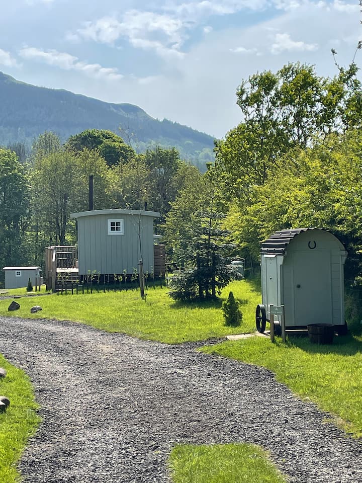 Hut site in Deelish (carbery W. (e.d.) By., Dromdaleague Par.)Hut site · 1401 yd
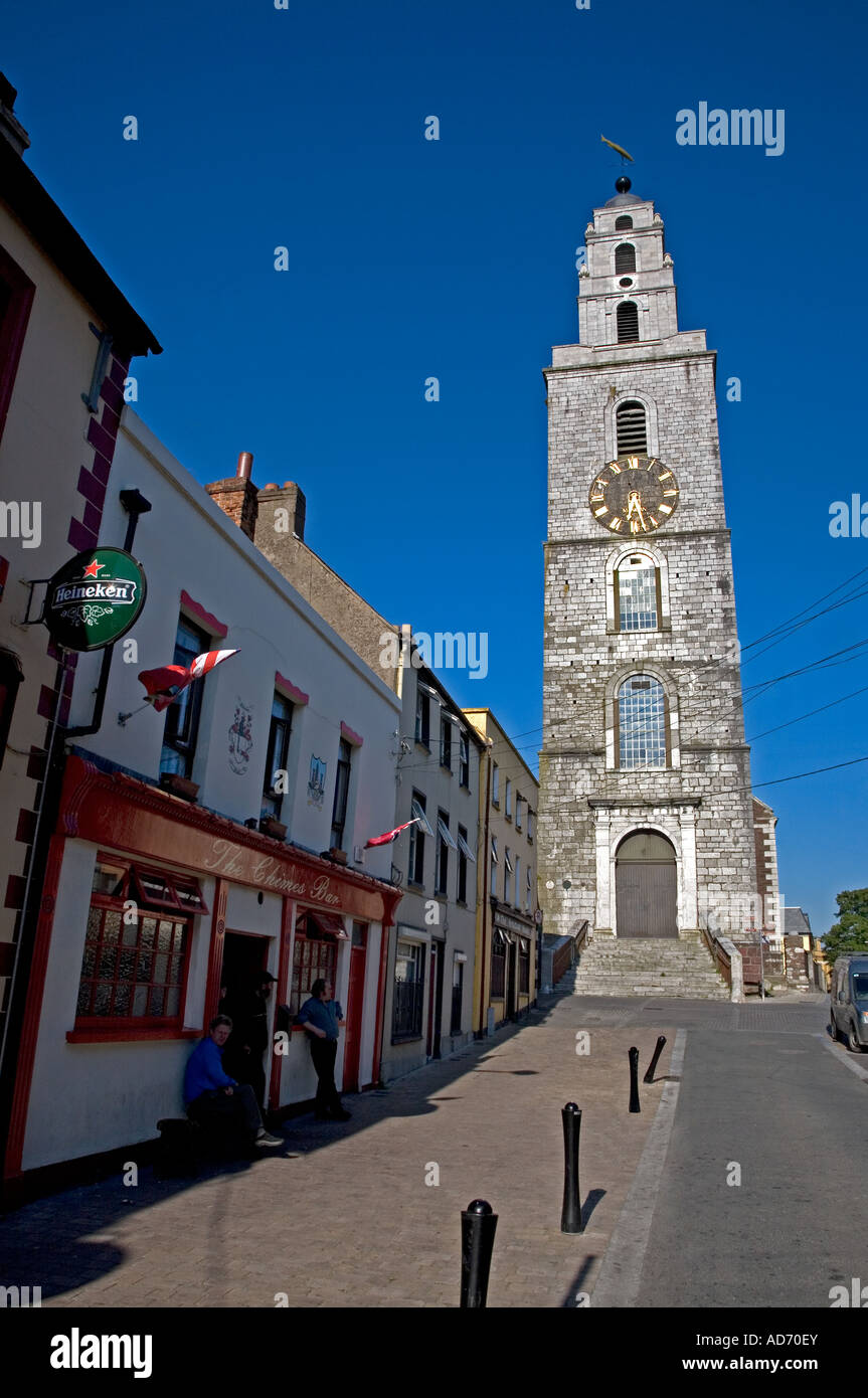 Church (in Ruins)Church · 1465 yd
 Grave YardGraveyard · 1475 yd
 Rockmount Househouse · 1532 yd
 Castle DonovanCastle · 1.7 mi
 Castle Donovan (in Ruins)Castle, tower house · 1.8 mi
 Mullach MéiseMountain / peak · 3.2 mi
 Nowen Hill SW TopMountain / peak · 3.4 mi
 Francis O'Neill PlaqueMemorial · 4.0 mi
 Wild Atlantic WayVisitor information · 8.4 mi