What is recorded here
Mortlestown holds three standing stones scattered across reclaimed pasture, yet none appeared on historic maps until Tom Fox of Teagasc identified them in 2009. They still rise beside the Ballygeagoge boundary like forgotten markers of a field that has changed hands and shape many times. People may have measured distance, marked ownership or simply watched the sky from that ground before pasture swallowed the meaning. The stones do not need a name to keep the old shape of the place alive.
In reclaimed pasture 170m W of the townland boundary with Ballygeagoge. Standing stone (LI056-057----) 105m to N and standing stone (LI056-058----) 160m to NE. Not depicted on OSi historic maps. Identified as a standing stone by Tom Fox of Teagasc in 2009. Possible standing stone visible on Google Earth orthoimages.
See attached Google Earth orthoimages.
Compiled by: Martin Fitzpatrick
Date of upload: 16 November 2021
The monument record does not grant public access. Check the route and ask the landowner before entering private land.
- What survives
- Recorded monument
Places near here
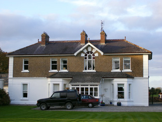 Sycamore Lodgehouse · 172 yd
 Cathair Murthuile -Hachured/Indic.Fairy fort / earthen ringfort · 852 yd
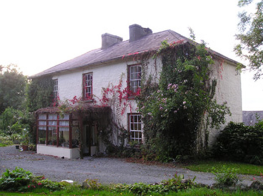 Mortlestown Househouse · 932 yd
 Mound in MortlestownMound · 1138 yd
 Ballyhoura tourist informationVisitor information · 1.3 mi
 Treada Na Ríogh (The Moat), hachuredCastle, motte · 1.4 mi
 Castle (in ruins)Castle, tower house · 1.4 mi
 Gooseberry HillMountain / peak · 2.1 mi
 Keale MountainMountain / peak · 2.4 mi
 Palatine's RockNamed rock · 2.4 mi
 Ballyhoura WayWalking route · 2.6 mi
 ToberpatrickSpring · 3.1 mi