What is recorded here
In pasture, on a high level plateau. This standing stone (0.6m x 0.65m; H 1.55m) is roughly square in plan and is orientated NNW-SSE. The stone narrows considerably towards the top.
The above description is derived from 'The Archaeological Inventory of County Cork. Volume 5' (Dublin: Stationery Office, 2009).
Date of upload: 22 December 2009
The monument record does not grant public access. Check the route and ask the landowner before entering private land.
- What survives
- Recorded monument
Places near here
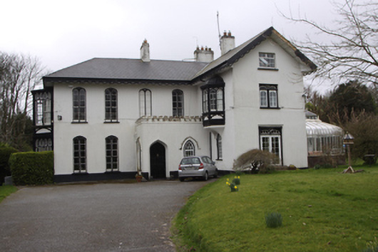 Thornburyhouse · 542 yd
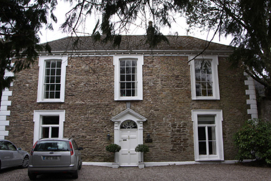 Old Woodhouse · 599 yd
 Ronayns CourtHouse, fortified house · 890 yd
 Rochestown WoodWood · 1253 yd
 Mulcon ValleyWood · 1470 yd
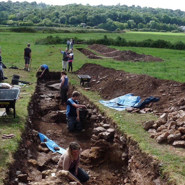 ExcavationExcavation, miscellaneous · 1.2 mi
 Icehouse in Ballinure (cork By.)Icehouse · 1.2 mi
 Pauper's GraveyardArchaeological place · 1.5 mi
 Castle Treasure (Site of)Castle, unclassified · 1.6 mi
 Goat IslandIslet · 1.7 mi
 Grey GalleryGallery · 1.7 mi
 Lough MahonBay · 1.7 mi