What is recorded here
Standing stone in Monard rises as a red sandstone slab, leaning west with a northeast-southwest axis. It is not a distant myth but a visible local marker, the kind of place where people may have gathered, remembered or marked boundary long before written records. Its slight tilt gives it life, as if it listened to the land instead of resisting it.
Recorded by Mary Sleeman, Archaeologist with Cork County Council, on 12th October 2011. She describes it as 'Upright slab of red sandstone, leaning slightly to W; H 1.18m; Wth 0.56m; T 0.15m; long axis NE-SW.'
The monument record does not grant public access. Check the route and ask the landowner before entering private land.
- What survives
- Recorded monument
Places near here
 bridgebridge · 543 yd
 ViaductRailway bridge · 1026 yd
 IndicatedFairy fort / earthen ringfort · 1042 yd
 Clogheenmilcon Nature Reserve Killeens EndPicnic place · 1.1 mi
 Castle (Site of)Castle, unclassified · 1.2 mi
 Fulacht fia in ClogheenmilconFulacht fia · 1.4 mi
:BlarneyCastle,KinsaleCorkCityShoreTour-KlookIndia.jpg) Clogheenmilcon SanctuaryNature reserve · 1.5 mi
Clogheenmilcon SanctuaryNature reserve · 1.5 mi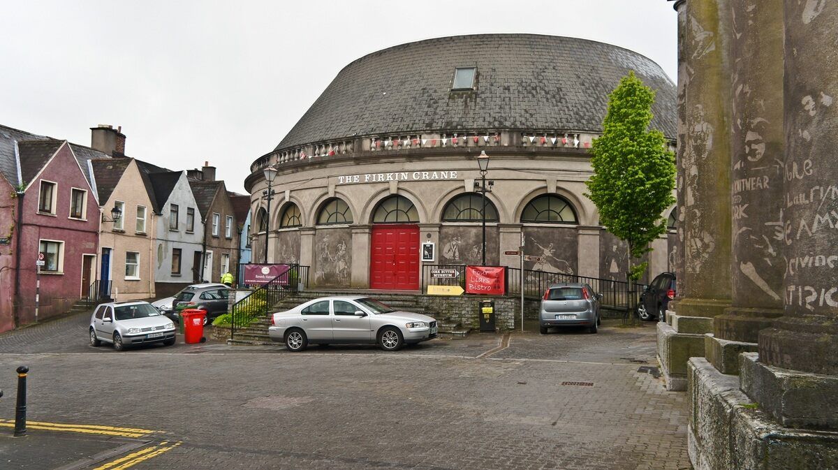 Clogheenmilcon FenVisitor information · 1.5 mi
 Old Cemetery KilcullyMemorial · 1.6 mi
 Ring WoodWood · 1.8 mi
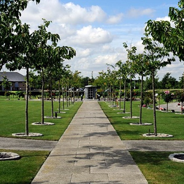 Remembrance TreesMemorial · 2.5 mi
 Mashanaglass Castle (in Ruins)Castle, tower house · 18 mi