What is recorded here
Mortons stands on a hill in County Donegal, a tall stone marked in national records but still without a public story. It may have guided herds, marked a boundary or watched a road nobody remembers. The land around it has changed while the stone stayed put, keeping a shape of human life that has slipped from memory.
The Archaeological Survey of Ireland (ASI) is in the process of providing information on all monuments on The Historic Environment Viewer (HEV). Currently the information for this record has not been uploaded. To access available information for research purposes please make an appointment in advance with the Archive Unit (open Fridays 10.00 am – 5.00 pm), Department of Housing, Local Government and Heritage, The Custom House, Dublin 1 D01W6XO or email NMarchive@housing.gov.ie.
The monument record does not grant public access. Check the route and ask the landowner before entering private land.
- What survives
- Recorded monument
Places near here
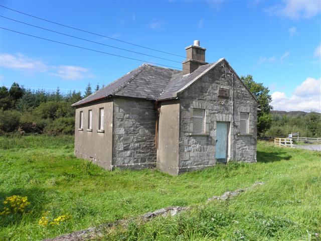 Meencarrigach National Schoolschool · 1353 yd
 Church of the Ascensionchurch/chapel · 1401 yd
 Enclosure in TruskEnclosure · 1.1 mi
 Lough HillMountain / peak · 2.0 mi
 Enclosure in TievecloghogeEnclosure · 2.5 mi
 Drumboe WoodForest recreation place · 3.5 mi
 Lismullyduff MountainMountain / peak · 4.0 mi
 Castle (Site of)Castle, unclassified · 5.2 mi
 Killeter ForestForest · 5.9 mi
 Ard na Mona WoodOfficial walking route · 9.5 mi
 CastleCastle, unclassified · 10 mi
 MurvaghOfficial bathing water · 17 mi