What is recorded here
Maulikeeve holds a standing stone in West Cork, a tall shape on a northwest-facing slope where the land tilts toward the sea. It stands eighteen decimetres high, broad enough to touch across, and aligns from northeast to southwest as if marking a line older than the pasture around it. Whether it is a glacial erratic or a chosen monument, the stone still interrupts the field like a forgotten instruction, waiting for someone to read the direction it points.
In pasture on NW-facing slope. Stone (H 1.8m; 2.25m x 1.15m); long axis NE-SW. May be an erratic (WBBS).
The above description is derived from the published 'Archaeological Inventory of County Cork. Volume 1: West Cork' (Dublin: Stationery Office, 1992). In certain instances the entries have been revised and updated in the light of recent research.
Date of upload/revision: 14 January 2009
The monument record does not grant public access. Check the route and ask the landowner before entering private land.
- What survives
- Recorded monument
Places near here
 Man-made underground passage in Ards More (west)Man-made underground passage · 551 yd
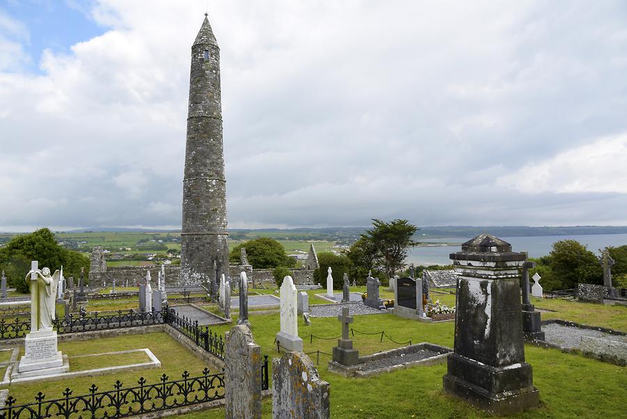 Burial ground in Ards More (west)Burial ground · 708 yd
 Kealkill stone circleVisitor information · 1.3 mi
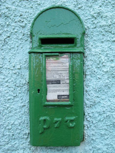 post boxpost box · 1.7 mi
 Church in InchicloghChurch · 1.9 mi
 Carriganass CastleCastle · 1.9 mi
 Bulls PocketMountain / peak · 2.6 mi
 Mullach MéiseMountain / peak · 2.7 mi
 St Finbarr's Pilgrim RouteWalking route · 2.8 mi
 Castle (in Ruins)House, fortified house · 3.2 mi
 Francis O'Neill PlaqueMemorial · 3.3 mi
 Ballylickey BayBay · 3.4 mi