What is recorded here
The townland name, translated as ‘knoll of the standing stone’ (OSNB Kilcrohane, 17), indicates the former presence of a standing stone here. The IFC Schools’ Collection recorded the presence of an upright gallán at Doirín a Coirce. The location of this place has not been identified, and the stone is not remembered locally.
The above description is derived from A. O'Sullivan and J. Sheehan (compilers), 'The Iveragh peninsula: an archaeological survey of South Kerry'. Cork University Press (1996), no. 248. In certain instances the entries have been revised and updated in the light of recent research.
Date of upload: 28 July 2013
Likely dating to the Bronze Age, the standing stone at Maulagallane may have served a ceremonial or territorial function. The townland name suggests its historical significance as a local landmark, possibly linked to early Irish traditions surrounding gallán stones used in legal or ritual contexts.
The monument record does not grant public access. Check the route and ask the landowner before entering private land.
- What survives
- Recorded monument
Places near here
 Man-made underground passage in Ardsheelhane WestMan-made underground passage · 1264 yd
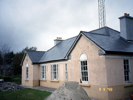 Sneem Garda Síochána Stationgarda station/constabulary barracks · 1.0 mi
 De Gaulle MemorialMonument · 1.1 mi
 Church of the Transfiguration (Kilcrohane)church/chapel · 1.1 mi
 Sneem Commemoration PlaqueMemorial · 1.1 mi
 Fulacht fia in Fermoyle (dunkerron South By.)Fulacht fia · 1.6 mi
 Slievenashaska South TopMountain / peak · 2.9 mi
 Dereenavurrig HillMountain / peak · 3.0 mi
 GarinishIslet · 3.3 mi
 Rossdohan IslandIsland · 3.8 mi
 Coral BeachBeach / strand · 4.0 mi
 2Cliff · 5.5 mi