What is recorded here
Standing stone in Loughane More fell over near its original place on a Cork hillslope overlooking Bantry Bay. It stood upright when recorded in 1993, pointing northeast and southwest above the sea. Now it lies on its side, two metres from the mark where it once defied gravity. The stone has not gone anywhere, but it has stopped answering the sky and begun answering the earth.
In undulating pasture, on a S-facing hillslope overlooking Crow Head and the mouth of Bantry Bay. This standing stone (1.1m x 0.5m; H 1.3m) was recorded in 1993 as upright and orientated NE-SW. The stone is now prostrate and lies 2m to the NW of its well-preserved original location. It is roughly triangular in section, measuring L 1.3m, 1.1m and 0.95m along its three sides. There is a hut site (CO126-033001-) c. 100m to the NW and another hut site (CO126-033002-) is c. 100m to the NNW.
The above description is derived from 'The Archaeological Inventory of County Cork. Volume 5' (Dublin: Stationery Office, 2009).
Date of upload: 22 December 2009
The monument record does not grant public access. Check the route and ask the landowner before entering private land.
- What survives
- Recorded monument
Places near here
 Hut site in Loughane MoreHut site · 92 yd
 Man-made underground passage in Loughane MoreMan-made underground passage · 328 yd
 LackacroghanMountain / peak · 1175 yd
 Serough IslandIslet · 1.1 mi
 Garnish StrandBeach / strand · 1.3 mi
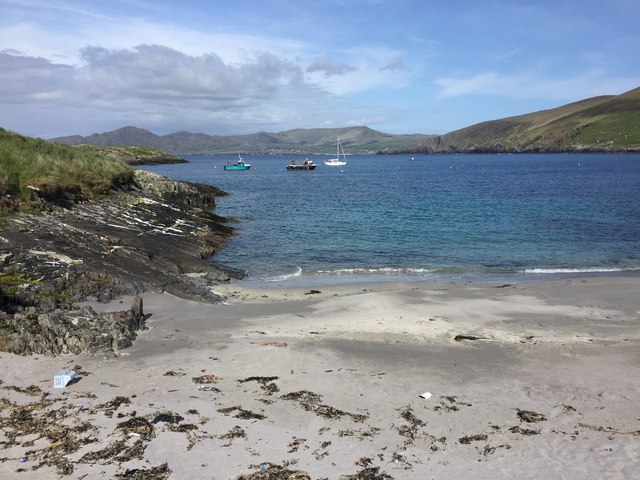
 TranaduileasgBeach / strand · 1.4 mi
 White StrandBeach / strand · 1.6 mi
 Long IslandIslet · 1.6 mi
 Garinish IslandIslet · 1.7 mi
 Signal Station FlagstaffRuins · 2.1 mi
 Chapel (in Ruins)Church · 2.3 mi
 Fort (in Ruins)Castle, unclassified · 2.3 mi