
What is recorded here
Half-buried in a Cork hillslope, the round hut still faces Crow Head, its earthen bank broken where cattle have jumped for centuries. Someone cut the northern ground and raised the southern edge to keep the floor level, fitting a small life into the tilt of the land. Forty metres away another ghost circle waits, and a lone standing stone watches from beyond, as if the slope were once a neighbourhood rather than a vacancy.
In pasture, on a S-facing hillslope overlooking Crow Head. The remains of a circular hut site (5.3m E-W; 5.2m N-S) defined by a partially eroded earthen bank (Wth 1.6m; H 0.75m) which varies in height because of several cattle-breaks. The level interior is raised (H 1m) at the S and cut (D 0.6m) into the upslope at the N to compensate for the hillslope. Another hut site (CO126-033002-) is c. 40m to the NE and a standing stone (CO126-033003-) is c. 100m to the SE.
The above description is derived from 'The Archaeological Inventory of County Cork. Volume 5' (Dublin: Stationery Office, 2009).
Date of upload: 22 December 2009
The monument record does not grant public access. Check the route and ask the landowner before entering private land.
- What survives
- Recorded monument
Places near here
 Man-made underground passage in Loughane MoreMan-made underground passage · 404 yd
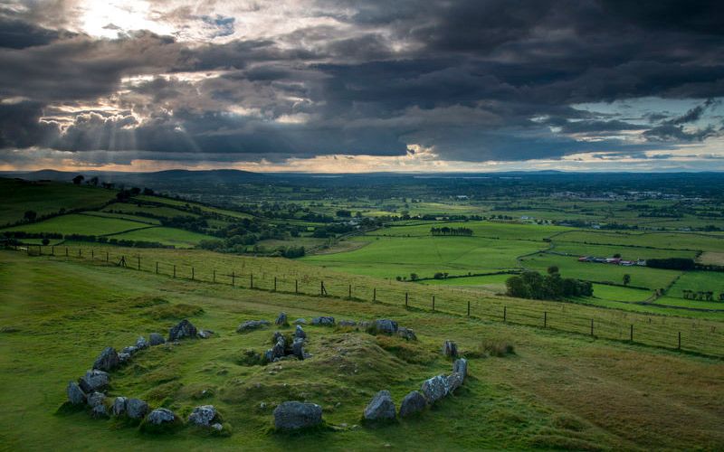 CairnCairn, unclassified · 507 yd
 LackacroghanMountain / peak · 1125 yd
 Serough IslandIslet · 1.2 mi
 Garnish StrandBeach / strand · 1.2 mi
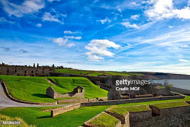 TranaduileasgBeach / strand · 1.4 mi
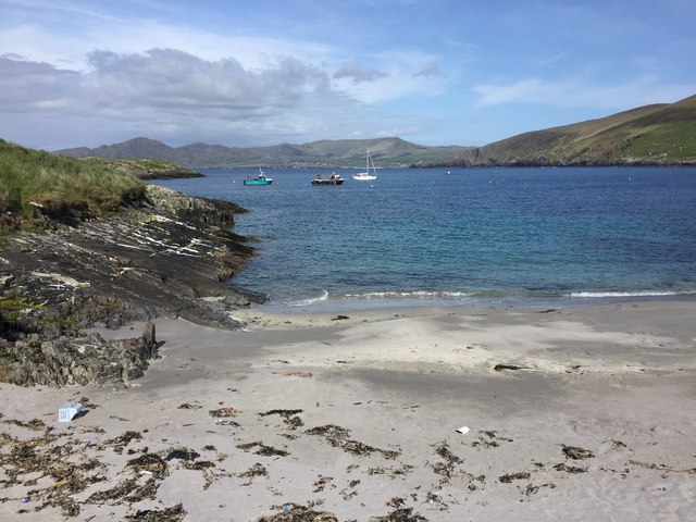 White StrandBeach / strand · 1.5 mi
 Long IslandIslet · 1.5 mi
 Garinish IslandIslet · 1.7 mi
 Signal Station FlagstaffRuins · 2.0 mi
 Chapel (in Ruins)Church · 2.3 mi
 Fort (in Ruins)Castle, unclassified · 2.3 mi
Other information
Photo: Credit not shown in the picture search · Rights wording not checked; contact us if this picture should be removed